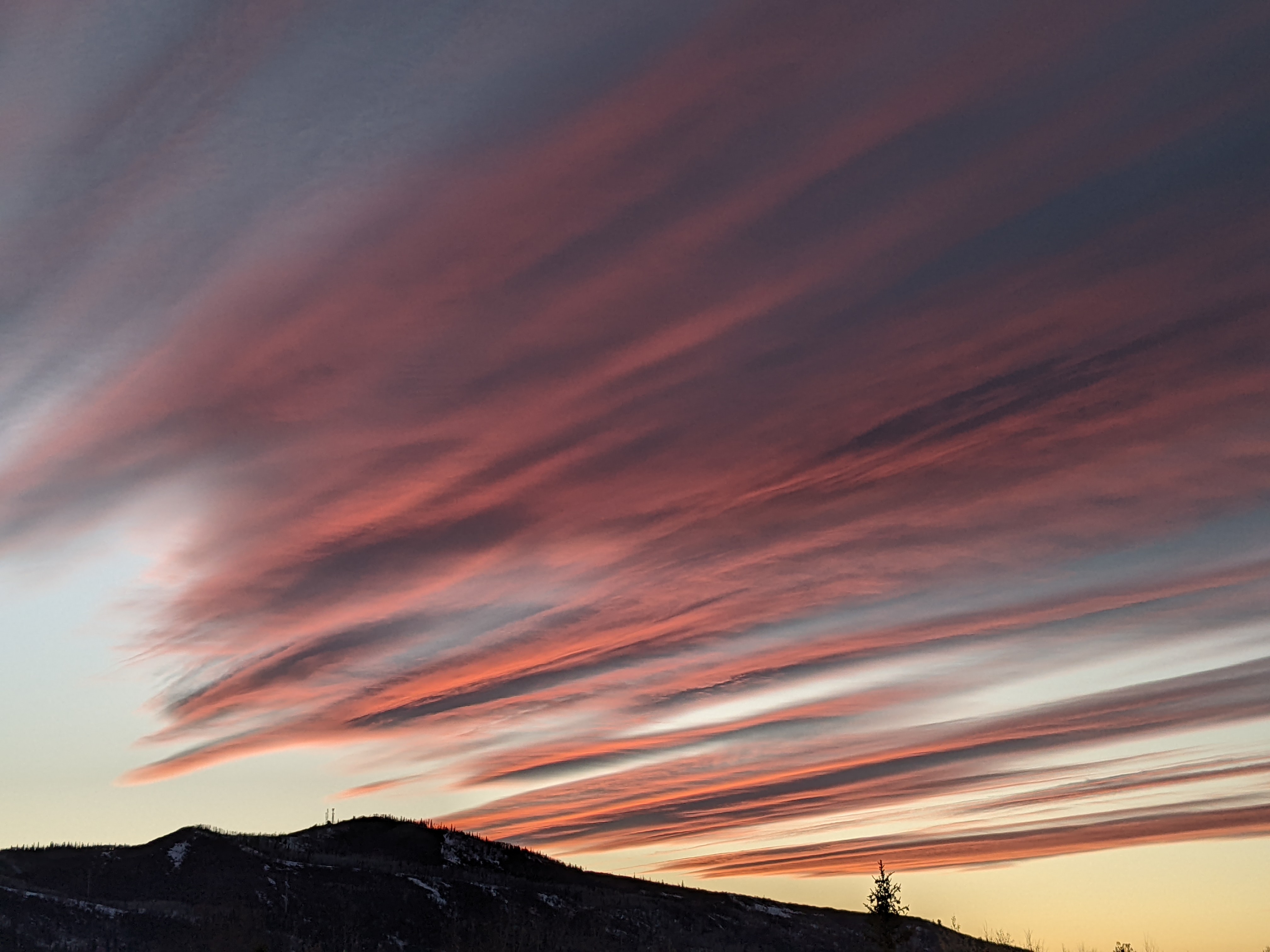
More snowfall for this weekend and midweek
Thursday, February 18, 2021
Cloudy skies and temperatures of 18 F at the Bob Adams airport and 5 F at the top of the Steamboat Ski Area are currently observed in the Yampa Valley late this Thursday morning. The snow looks to take a break down in the valley today with peeks of sun, though light snow showers look to hold on over the hill as the cool, moist, unstable and favorable northwest flow continues. A small storm is expected on Friday as temperatures rise followed by a moderate and colder storm on Saturday. Even though snow showers will persist on Sunday, especially at the higher elevations, they will gradually diminish before ending on Monday. Our next storm arrives around midweek.
Our active weather pattern in Steamboat Springs is delivering the goods, with 16” of fluffy low-density powder over the last three days at mid-mountain and 24” up top. While the first half of the storm behaved as expected, the second half of the storm from Tuesday night through Wednesday overproduced at the higher elevations, with 6” falling up top during the day yesterday and piling on top of the 11” that was reported at 5 am. This time, the shorter-range weather forecast models had the correct forecast, though they often over-predict which makes relying on them for every forecast problematic. Perhaps they are most reliable for our area when we are in the favorable northwest flow, and I will attempt to incorporate that insight into future snowfall guesses going forward.
Currently, a vortex of frigid air centered over Baffin Bay just west of Greenland is elongated across northern Canada, and chunks of this air mass are mixing with Pacific storms as they traverse the Gulf of Alaska. Ahead of the next cold storm forecast for later Saturday, a shallow ridge of high pressure quickly moves through our area on Friday. Even though we will see warming temperatures during the day, there is enough moisture embedded in the favorable northwest flow to produce light snow that will begin after the Friday morning report and possibly last into the night. While we generally don’t do well with snowfall under warming temperatures, weather forecast models insist there could be 2-5” by the Saturday morning report, most of which would fall during the previous day.
Snowfall may stop for a time around early Saturday morning before restarting as the next colder storm approaches. Snowfall should pick up through the day before the cold front passes through in the afternoon or evening, with snowfall continuing overnight in the cold, moist, unstable and favorable northwest flow. Based upon what happened this past Wednesday, I would guess 5-10” of snowfall could be reported on the Sunday morning report at mid-mountain, with more possible at the higher elevations.
Snow showers will hang on to the higher elevations on Sunday, though additional accumulations should be light. It does look like we will see a precipitation-free period for Monday and the first half of Tuesday before another cold and likely significant storm is forecast for later Tuesday and Wednesday. I’ll have some snowfall guesses in my next regularly scheduled weather narrative on Sunday afternoon.


