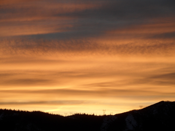
Wintry storm to arrive Saturday night
Thursday, November 5, 2020
Similar to the last several days, the temperature in Steamboat Springs is 63 F this Thursday afternoon, and we should see another degree or two of warming today under bluebird skies. A strong wintry storm off the Pacific Northwest coast will move inland over the weekend, bringing breezy southwest winds ahead of the storm and snow behind it by early Sunday morning. A quickly-following storm brings another round of snow on Monday with a break on Tuesday before another storm passes through on Wednesday, with more unsettled weather forecast for the following weekend.
The last two weeks of warm and mostly sunny fall weather looks to come to an end by mid-weekend as a couple of wintry storms travel across the West. We should see some effects from the first storm on Friday with breezy winds from the southwest, followed by more wind on Saturday and increasing clouds, but still mild temperatures running ten to fifteen degrees or so above our average of 48 F.
Precipitation may start as rain after midnight on Saturday, though will quickly turn to snow as the first storm passes over Colorado with its attendant cold front, perhaps with a rumble or two of thunder. While the southern areas of the state will do the best in the generally southwest to southerly flow, the storm is strong enough to bring 1-4” of snow to our area, with the higher amounts at the higher elevations.
Following quickly on the heels of this first storm is a a second storm that will affect our area on Monday, with more favorable winds first from the west and then the northwest. So we’ll see a short break between storms, with snow showers tapering off Sunday morning before possibly ending for the afternoon and part of the night. But snows pick up again Monday and become heaviest in the afternoon as the second cold front passes through and the winds turn to be from the northwest. Snow showers will become more intermittent overnight before ending by Tuesday morning, leaving an additional 2-5” of accumulation, again with the higher amounts at the higher elevations.
We’ll see a break on Tuesday before another storm with a similar track out of the northwest brings more snow starting on Wednesday. Snow showers through the day should become heaviest overnight before becoming lighter on Thursday and ending by Friday morning, with another 2-5” of accumulations possible.
While Friday and some of Saturday are currently looking dry, another storm is forecast to bring more snowfall to our area starting mid-weekend. And for what its worth, this one is looking like the best of the week for our area as more continuous snowfall lasting 36 hours or so into the following Monday is currently advertised. With our active week of predicted snowy weather, stay tuned to my next regularly scheduled weather narrative on Sunday afternoon for updates to the forecast.


