Cold persists through midweek behind wintry storm
Sunday, October 25, 2020
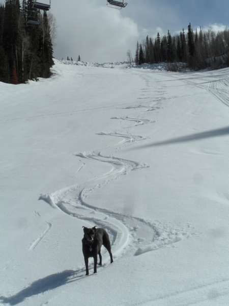
The current wintry storm arrived early Sunday morning as advertised, and I measured almost 8” on my deck by 2:30 pm this Sunday afternoon. Along with the snow, temperatures are currently in the low-teens, with little hope of warming until Monday afternoon when the storm ends and the sun returns. Bitterly cold morning temperatures likely below zero will start the week on Monday and Tuesday before temperatures moderate by Wednesday and warm further for the rest of the work week under dry skies.
The current amplified jet stream pattern highlights a ridge of high pressure off the West Coast and a deep and cold storm over the Great Basin and central Rocky Mountain states. We may see another few hours of enhanced snowfall heading toward sunset today, but snows should become lighter through the night before tapering off on Monday morning with another several inches falling.
Very cold low temperatures, likely below zero will occur tomorrow morning, and after the snowfall ends during the morning we should see periods of sunshine in the afternoon as the storm sinks into the Desert Southwest. But the new snow and cold air mass will limit the warming and keep highs below freezing.
As cold as Monday morning will be, if the skies clear Monday night as expected, Tuesday morning could be even colder. But we’ll see sun during the day, so the high temperature should rise to above freezing when combined with the warming air mass behind the departing storm.
A Pacific storm currently over the Bering Sea will partially flatten and move the ridge of high pressure off the West Coast eastward through the upcoming week, passing over the Rocky Mountains around Friday. Expect plenty of sun and gradually warming temperatures through the work week, with highs finally returning towards our average of 54 F on Friday.
But the ridge of high pressure keeps moving eastward, and a dry wave will pass through our area sometime during next weekend, with only a slight cool down expected. Warming temperatures and more sun should follow heading into the following work week, with a weak storm possibly bringing a chance of precipitation back to our area around midweek. I’ll know more about the possible cool front this coming weekend by my next regularly scheduled weather narrative on Thursday afternoon.
Add comment
Fill out the form below to add your own comments


