Rains likely on Tuesday followed by hot and mostly sunny weather
Sunday, July 26, 2020
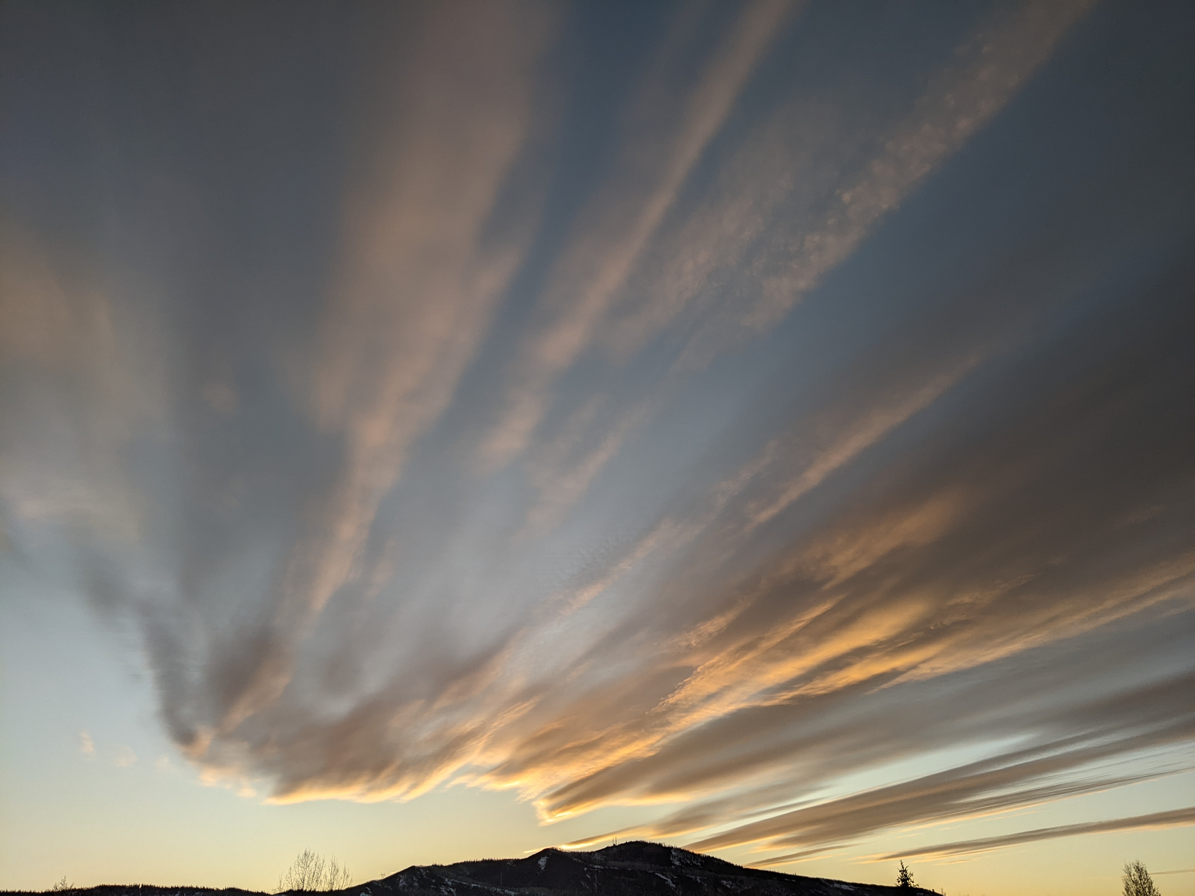
Steamboat Springs has reclaimed its usual sunny morning on this Sunday, with a small chance for some showers later today. Another mostly dry day is forecast for Monday ahead of a good chance for wetting rains on Tuesday. The weather pattern then shifts to warmer and drier weather starting midweek.
We saw a far more dreary Saturday morning than I expected in my Thursday forecast, thanks to the drier air taking a half-day longer to arrive. The drier air and more stable atmosphere here now are due to more westerly flow associated with a storm traveling across the Canadian Plains, so we’ll see only a small chance for showers both later today and later Monday.
An area of low pressure currently just west of California will be pushed across the Great Basin tomorrow by a strong storm forecast to develop in the Gulf of Alaska. The southerly flow ahead of the storm will increase the atmospheric moisture again, and that moisture will combine with the upward motion associated with the storm to produce a good chance of wetting rains for most of Tuesday. Expect cool temperatures ten degrees or so below our average high of 82 F.
The flow switches from the south on Tuesday to the west and eventually the northwest by Wednesday behind the storm. Much drier air is forecast over our area by then, with only a small chance of afternoon showers in the somewhat unstable northwest flow.
Additionally, the summertime ridge of high pressure reforms over the Great Basin, which brings very dry air, almost no chance for precipitation and hot temperatures five to ten degrees above average over our area starting Thursday and likely extending through next weekend.
There may be a chance for moisture to return sometime later in the following week, though there is not a strong signal in the longer range weather forecast models. I’ll have a better idea about that by my next regularly scheduled weather narrative on Thursday afternoon.


