Winter blast for Thursday
Wednesday, April 1, 2020
The weather in Steamboat Springs this Wednesday noon is warm and mostly sunny ahead of a quick-moving and cold winter storm for Thursday. After that, moderating temperatures and some chances for showers are in our weather future for the upcoming week.
A large storm currently over northwestern North America is bringing cold temperatures and snow to the northwestern quarter of the U.S, and we should see breezy southwesterly winds and increasing clouds this afternoon ahead of the storm, with a chance for some light showers.
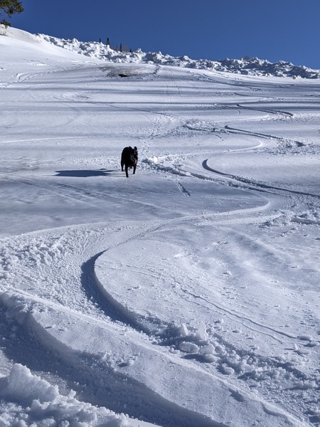
A strong cold front is forecast to move through our area around noon on Thursday, with periods of moderate to heavy snow along and behind the front. I would expect 3-6” of snow on the Powdercam at the top of Sunshine Peak by sunset with an additional 1-4” during the evening and overnight as showers taper off in the favorable and cold northwest flow behind the front.
Though Friday will start chilly with some snow likely on the ground in the Yampa Valley, drier air behind the storm should allow for sun during the day, though temperatures will still stay ten to fifteen degrees below our average high of 49 F.
The uncertainty regarding the weather for Saturday has fortunately decreased with the American GFS now agreeing with the more consistent European ECMWF that a ridge of high pressure will build over the eastern two thirds of the U.S. by Monday. So that will bring moderating temperatures for the weekend, though we may see some showers on Sunday as a small storm is mostly deflected to our north by that ridge.
Meanwhile, another strong storm is forecast to develop off the Pacific Northwest coast on Sunday and split. Weather forecast models agree that the bulk of the storm will form an eddy and sink slowly down the West Coast through midweek before turning inland and moving across the Desert Southwest. But some energy is forecast to eject out of the eddy early Monday as it sinks south along the West Coast, and this may bring the possibility of showers to our area later in the day.
Shower possibilities continue on Tuesday as we may see a weak cool front associated with the northern part of the split storm pass through.
It does appear we get a break from the unsettled weather on Wednesday before that Desert Southwest storm may or may not affect our area towards the end of the work week. At this point, the ECMWF is slower and further north with the storm as compared to the American GFS, though both bring the possibility of showers back to our area by later Thursday and Friday even as they keep the bulk of the storm to our south.


