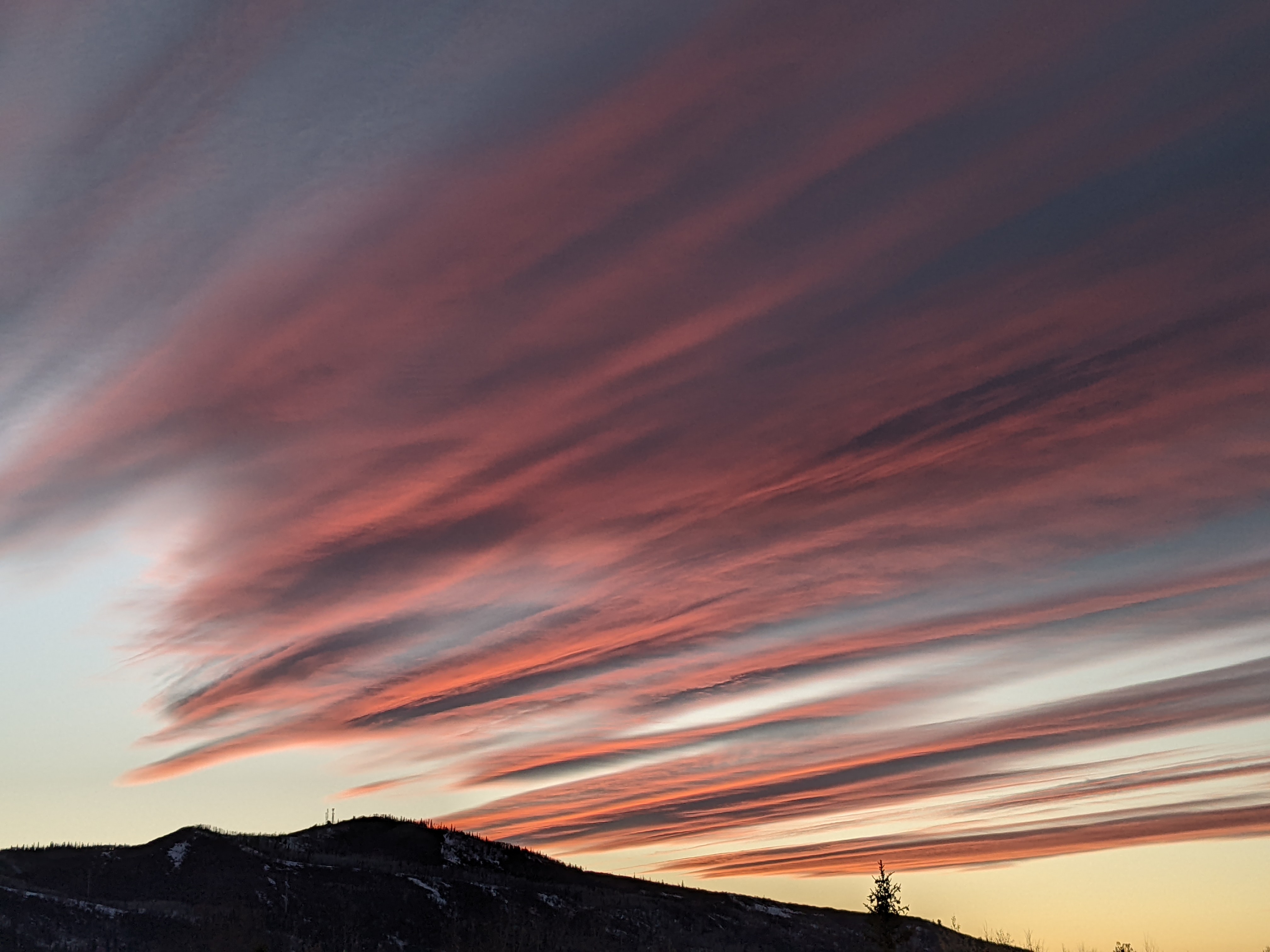
Winter weather returns tonight
Saturday, February 15, 2020
Partly sunny skies are over the Steamboat Springs area early this Saturday afternoon ahead of another winter storm with copious moisture, similar to last Friday, that will start snows tonight. Persistent moderate to heavy snow and wind are expected during the day Sunday and overnight, creating difficult or impossible travel conditions. Though snowfall rates will diminish Monday morning, accumulating showers are expected again for the afternoon and overnight into Tuesday morning, along with sharply colder temperatures. Drier weather is advertised after the storm followed by warming after midweek, first noted at the higher elevations as the lower elevations will start the mornings cold due to temperature inversions forming. A warm storm is currently advertised around next weekend, quickly followed by a large, strong and cold storm for the beginning of the following work week.
An atmospheric river, or relatively narrow stream of moisture embedded in the jet stream, is currently impinging on the Pacific Northwest, and its mild origins from the central Pacific means our storm will start warm tonight. I would expect 2-5” by the Sunday morning report, with temperatures and westerly winds increasing during the day as the storm splits over the Great Basin. Snowfall rates around an inch per hour are expected through the day, at which point a cool front moves through Sunday evening and produces snowfall rates of lighter and fluffier snow as high as two inches per hour at times. I would expect 10-20” of snow to reported Monday morning at mid-mountain.
Though the atmosphere dries Monday, some of the split storm is forecast to move over our area Monday afternoon bringing much colder temperatures, even as some of the storm is left behind. The complicated evolution of the storm makes for an uncertain forecast from later Monday through Tuesday, especially since the cold temperatures that will be below zero at the top of Mt. Werner by Tuesday morning will inflate the snowfall totals. We could range from 1-4” at mid-mountain on Tuesday morning if the faster weather forecast models verify or 4-8” if the slower and more westward solutions are appropriate.
While Tuesday may feature some light snow showers, or not, cold temperatures will persist into Wednesday even as dry air tries to work into our area. But it is not clear how sunny we may be as we may still be under the influence of the now weak western portion of the storm if that solution verifies.
By Thursday, we will likely see warming, especially at the higher elevations, as a some sort of ridge of high pressure moves over the West ahead of another Pacific storm. This storm is forecast to split just before making landfall on Thursday, and while the northern part of the split is deflected to our north, leaving both Friday and Saturday warm and dry, the southern part of the split may mix with some subtropical moisture and bring a warm and wet storm first over the Desert Southwest and then our area by later in the weekend.
This warm storm is forecast to be kept moving by a large, powerful and cold storm that may move over our area in the beginning of the following work week. I will have more details on these storms in my next regularly scheduled weather narrative Thursday afternoon.


