Snow chances Monday night and later next weekend
Sunday, December 1, 2019
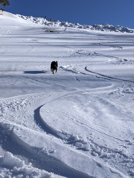
After the snow, wind and cold of Saturday, a warmer but still crisp, bluebird day is gracing Steamboat Springs early this Sunday afternoon. Temperatures will warm further for Monday even under some increasing clouds later in the day ahead of a grazing storm that will bring a chance of snow showers, greatest at the higher elevations, from Monday night through the first half of Tuesday. Another storm around Thursday looks to pass too far south of our area for much besides increased cloudiness before mostly sunny skies and warm temperatures end the work week and start the following weekend.
Though the first part of the last storm under-delivered for reasons I’m still trying to understand, the wind and snow came on schedule for the second part of the storm, with 5” of snow falling at mid-mountain during the day Saturday and temperatures at the top of Mt. Werner struggling to touch 4 F during daylight hours.
But we now see a cool and sunny day for the start of the Northern Hemisphere’s meteorological winter, which includes the most wintry months of December, January and February. Monday will dawn with cold temperatures within five degrees of our average low of 9 F, rising under mostly sunny skies to five to ten degrees above our average high of 32 F as a ridge of high pressure moves overhead.
Meanwhile, a storm off the West Coast splits today, with the northern part racing across the northern Rockies on Monday and grazing northern Colorado in northwest flow with some energy and moisture. Snow showers will become likely at the higher elevations by Monday night and last into Tuesday, with weather forecast models waffling on the duration and intensity of the showers. There could be as much as 1-4” of snow by the Tuesday morning report with that much again Tuesday morning after the report, though those reflect the more optimistic forecast at this time.
Even if showers end early on Tuesday, clouds will persist through the day and overnight as the southern part of today’s split storm off the West Coast is forced eastward across the Great Basin on Wednesday by another incoming Pacific storm. Notably, this Pacific storm will likely affect our area during the second half of the upcoming weekend.
But first, the Great Basin storm looks to be too far south of northern Colorado for precipitation, though more clouds will be in store for our area later Wednesday and Thursday as moisture ahead of and behind the storm overspreads our area.
A ridge of high pressure then briefly moves overhead for a mostly sunny and warm Friday. While the dry weather will extend into some of Saturday, that upstream Pacific storm is forecast to make landfall during the weekend. The timing and evolution of this storm will likely change over the coming days, but significant snowfall for our area is possible around the second half of next weekend or early the following workweek. More details will be forthcoming in my next twice-weekly weather narrative on Thursday afternoon.


