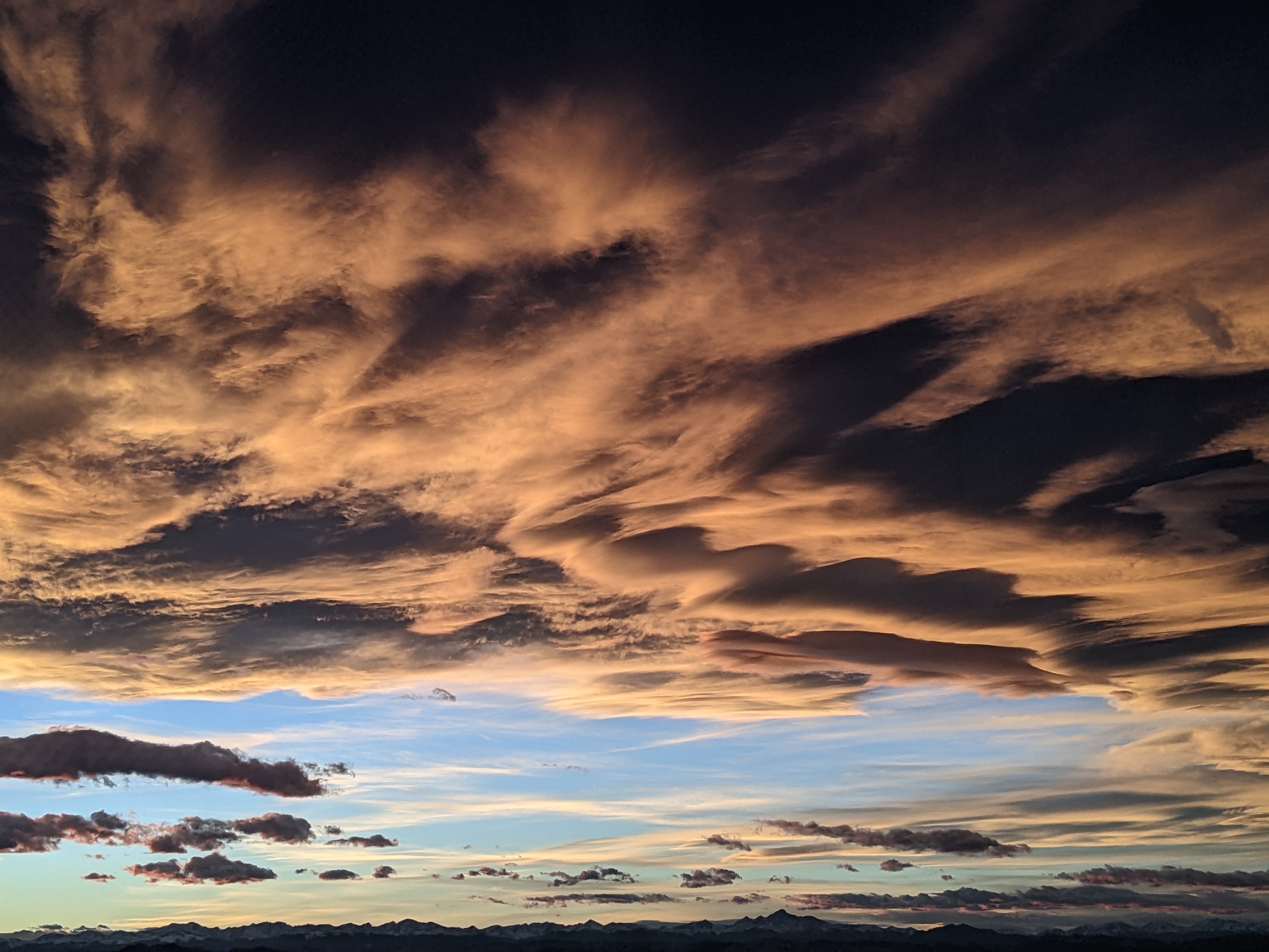
Two Thanksgiving week storms on Monday and Friday
Sunday, November 24, 2019
The Steamboat Springs area is experiencing our second bluebird day in a row this Sunday morning ahead of a couple of significant storms expected later on Monday and around the Friday after Thanksgiving. Travel will likely be difficult during the storms, especially from Monday afternoon through Tuesday afternoon and again on Friday and Saturday. But outdoor enthusiasts may be wallowing in over two feet of new snow from these storms by next Sunday if they evolve as currently predicted.
A compact and strengthening storm that is forecast to cross the West Coast tonight will bring a good shot of cold air and snow to our area from Monday afternoon through Tuesday afternoon. While we may see snowflakes Monday morning in advance of the storm, snows should intensify when the strong cold front passes through in the afternoon or early evening. Snowfall rates of an inch per hour or more will make travel quite difficult through early Tuesday before snows taper off during the day. I would expect 6-12” of snow on the Tuesday morning ski report, with an additional 1-4” during the day Tuesday as snows turn more showery under noticeably cold wintertime temperatures.
Meanwhile, another incoming Pacific storm made stronger by vigorous mixing with cold western Canadian air will travel down the West Coast on Wednesday and Thanksgiving Day before forming a large eddy cutoff from the main jet stream. While weather forecast models agree on its slow movement through the Great Basin on Friday, details are more nebulous. Models have trended a bit slower, bringing another round of moderate to heavy snows to our area on Friday and into Saturday, and fortuitously making Wednesday and most of Thanksgiving Day a good time for travel.
The center of the storm is currently forecast to pass nearly directly overhead later on Friday, with snows increasing earlier in the day and becoming moderate to heavy by later Friday and Friday night. Additionally, very cold temperatures even colder than we will experience on this coming Tuesday will follow behind the storm for Saturday and Sunday. Snow amounts will likely be significant from Friday morning through Saturday afternoon, which is when they are expected to end, with a preliminary guess of over a foot possible at mid-mountain, and more at the top of Mt. Werner. Stay tuned to my Thanksgiving Day weather narrative for the latest on this strong second storm.
Add comment
Fill out the form below to add your own comments


