Three day break before the next storm cycle begins
Thursday, October 24, 2019
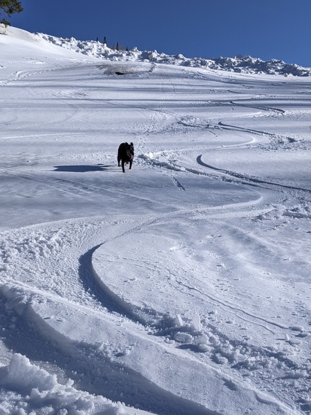
The sun is shining brightly on this cool Thursday in Steamboat Springs, which is a welcome sight after snow the past four days (and five out of the last six)! You would’t know we had a high of 69 F a week ago on Thursday before snow moved in and likely ended the mountain biking season in town, as it looks like mid-winter out there. Enjoy the break through Saturday as we have another storm cycle starting on Sunday that will again bring unseasonably cold temperatures to our area through most of the next workweek.
Despite the ample sunshine today, high temperatures will again stay in the thirties similar to the last four days, which is around twenty degrees below our average of 55F. After the cool temperatures today, low temperatures tomorrow morning will again be ten to twenty degrees below our average of 24 F. A ridge of high pressure moves over the West on Friday and Saturday, bringing considerable warming with high temperatures moving toward average on Friday and around average on Saturday.
But the ridge of high pressure will be pushed east of our area as a storm currently in the Gulf of Alaska makes landfall along the Pacific Northwest on Friday and moves across the Great Basin on Saturday. The storm will strengthen as it mixes with some cold Canadian air, bringing first clouds to our area later Saturday and then a cold front around Saturday night or Sunday morning.
The front looks to stall over northern Colorado during the day Sunday as the storm elongates to the southwest, likely bringing cold air all the way west to Nevada. Weather forecast models always struggle with these types of storms as they try and form eddies cut off from the main jet stream, though none more than the American GFS this fall as the new dynamical core (or equation-solver) installed recently by the NWS has made the forecasts far less consistent.
That being said, we could see significant snow through Sunday, and I’m currently guessing at 3-6” in town and 6-12” on Mount Werner by Monday morning. There could be more if the storm hangs back a bit before moving east as indicated by the more consistent European ECMWF and Canadian CMC, with snow persisting through some of Monday. Additionally, the Front Range could be in for more travel issues on Sunday as low-level easterly upslope flow settles over most of the state.
Meanwhile, a ridge of high pressure is forecast to build in the Gulf of Alaska over the weekend, and a wave of energy and moisture is forecast to round the top of the ridge on Sunday, mixing with some frigid air from the North Pole. I’ve discounted the likely too-progressive solution of the disappointing-so-far-this-season American GFS, so ahead of a break on Monday I am currently expecting an arctic front around Monday night or Tuesday accompanied by bitterly cold temperatures and very fluffy low-density snowfall that should persist through the day and possibly into Wednesday morning.
While the snows look to end on Wednesday, the bitterly cold air is likely to stick around before moderating on later Thursday or Friday. Another more seasonably cold, but dry, storm is forecast to move toward our area by early the following weekend.


