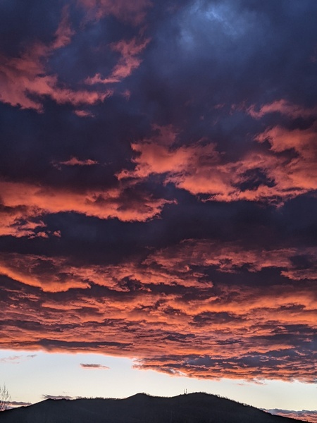
First snowfall likely for Thursday
Sunday, October 6, 2019
Brilliant sunny skies and crisp fall temperatures will continue this Sunday in Steamboat Springs behind a couple of dry cool fronts that passed though our area yesterday and early this morning. We’ll see warming temperatures and plenty of sun through at least part of Wednesday before our first winter-like storm brings sharply colder temperatures and the possibility of accumulating snow on Thursday, even in town.
An unseasonably strong and cold storm currently in the Gulf of Alaska will continue to mix with some very cold air sourced from near the North Pole as it moves toward the Pacific Northwest coast on Monday. We’ll see sunny skies through most of Wednesday as dry air stays over our area ahead of the storm, with the cool temperatures today of five to ten degrees below our average of 63 F warming to several degrees above average on Monday, Tuesday and Wednesday.
The storm is forecast to move into the Great Basin by Tuesday and across the Rocky Mountains by later Thursday. While Wednesday will start similar to the previous two days, we should see increasing clouds and breezy southwest winds by the afternoon as the storm approaches.
While the storm has always been forecast to be cold, it has trended wetter and slower in the latest weather forecast models. This adds a degree of uncertainty to the weather forecast that follows.
So as of today’s guidance, accompanying the storm will be a couple of cold fronts, with the first entering northern-central Colorado around sunset on Wednesday. This front looks to stall near our area overnight and the first half of Thursday, and will be the focus of precipitation as strong storm cells form in the very unstable atmosphere. It will cold enough for precipitation to fall as snow even in the Yampa Valley bottom, with high temperatures on Thursday expected to be twenty to twenty-five degrees below average. That’s highs in the upper thirties or lower forties!
There may even be thunder along with the snowfall, so expect locally moderate to heavy snowfall at times that might created difficult driving conditions, especially at pass level and possibly even in town. Normally the first snowfall of the season has difficulty accumulating due to the warm ground surfaces, but high snowfall rates of an inch per hour can briefly overcome that obstacle.
A secondary and colder front is forecast to pass through our area later Thursday, with temperatures falling even further and perhaps some more enhanced snowfall rates for a time. The airmass dries considerably behind the secondary front, so snowfall should turn more showery early in the evening before ending by midnight. I would expect my forecast snow amounts to change as the storm approaches, but right now there could be 3-6” in town and 6-12” at the top of Mt. Werner from this storm.
Friday will be the coldest morning since last winter if skies clear as forecast, with low temperatures fifteen or twenty degrees below our average of 28 F. So that means areas of the Yampa Valley may reach the single digits!
While the storm is east of our area on Friday, we will see warming relative to the wintry Thursday with mostly sunny skies, though temperatures will be slow to recover on Friday thanks to the very cold start to the day and the possibility of snow on the ground.
Drier air continues to infiltrate our area as temperatures warm for the weekend, with another cold morning on Saturday but temperatures warming to five to ten degrees below average during the day. Temperatures should continue to moderate for Sunday and Monday as a ridge of high pressure moves across our area.
Add comment
Fill out the form below to add your own comments


