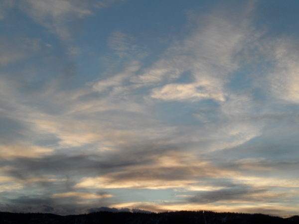
Some moisture around today and Friday before hot and dry weather returns for the weekend
Thursday, August 29, 2019
After a couple of cool nights with low temperatures in the thirties and scattered areas of frost, some higher level moisture has infiltrated the Steamboat Springs area this Thursday morning. Our best, but still modest chance of wetting rains occurs on Friday before hot and dry weather returns for the long Labor Day weekend.
Currently, our area is underneath a flat ridge of high pressure sandwiched between a large and cold storm that extends from near the North Pole southeastward towards Hudson Bay and a storm in the Gulf of Alaska. Moisture drawn from the west and south has produced some mid and high level clouds over our area today, with only a small chance of a weak storm that would produce more wind than rain thanks to the dry lower levels of the atmosphere.
We should have a better chance of some storms producing rain that actually reaches the ground on Friday afternoon as the atmosphere has had a day to moisten as the mid and upper level moisture mix downward to the surface.
By Saturday, both the Gulf of Alaska and the Hudson Bay storm move eastward, allowing the ridge of high pressure to amplify over the Rocky Mountains. Warming and drying occurs as the winds turn from the north-northwest on Friday to the west on Saturday and eventually the southwest by Labor Day. In fact, Labor Day may end up being one of the warmest days of the summer, which is appropriate irony considering the late start to summer which included snowfall in town on both June 21 and June 23.
Early in the work week, there is considerable disagreement among weather forecast models and their trends regarding the fate of the Gulf of Alaska storm as it is forecast to undergo some degree of splitting as it approaches the Pacific Northwest coast around Sunday night. Currently, there is a good chance of a weak monsoonal surge of moisture reappearing as early as Tuesday over our area and lasting in some form through the work week, though it is not clear if it will be strong enough to produce wetting rains.
Also of note for the the southeastern corner of the U.S. is Hurricane Dorian, which is expected to eventually be a Category 4 hurricane. The speed and track of major hurricanes are notoriously difficult to predict, but current forecasts have the storm making landfall around the east coast of central Florida on Labor Day before re-curving to the north and slowing or stalling over the Georgia / South Carolina area during the work week.
The weather for the following weekend over Steamboat Springs will be highly dependent upon the evolution of the Pacific Northwest storm and how much energy is left behind off the West Coast after the storm splits. Some models have upstream Pacific energy absorbing the leftover storm and carrying it over our area by the weekend, leading to a much better chance of precipitation.
Add comment
Fill out the form below to add your own comments


