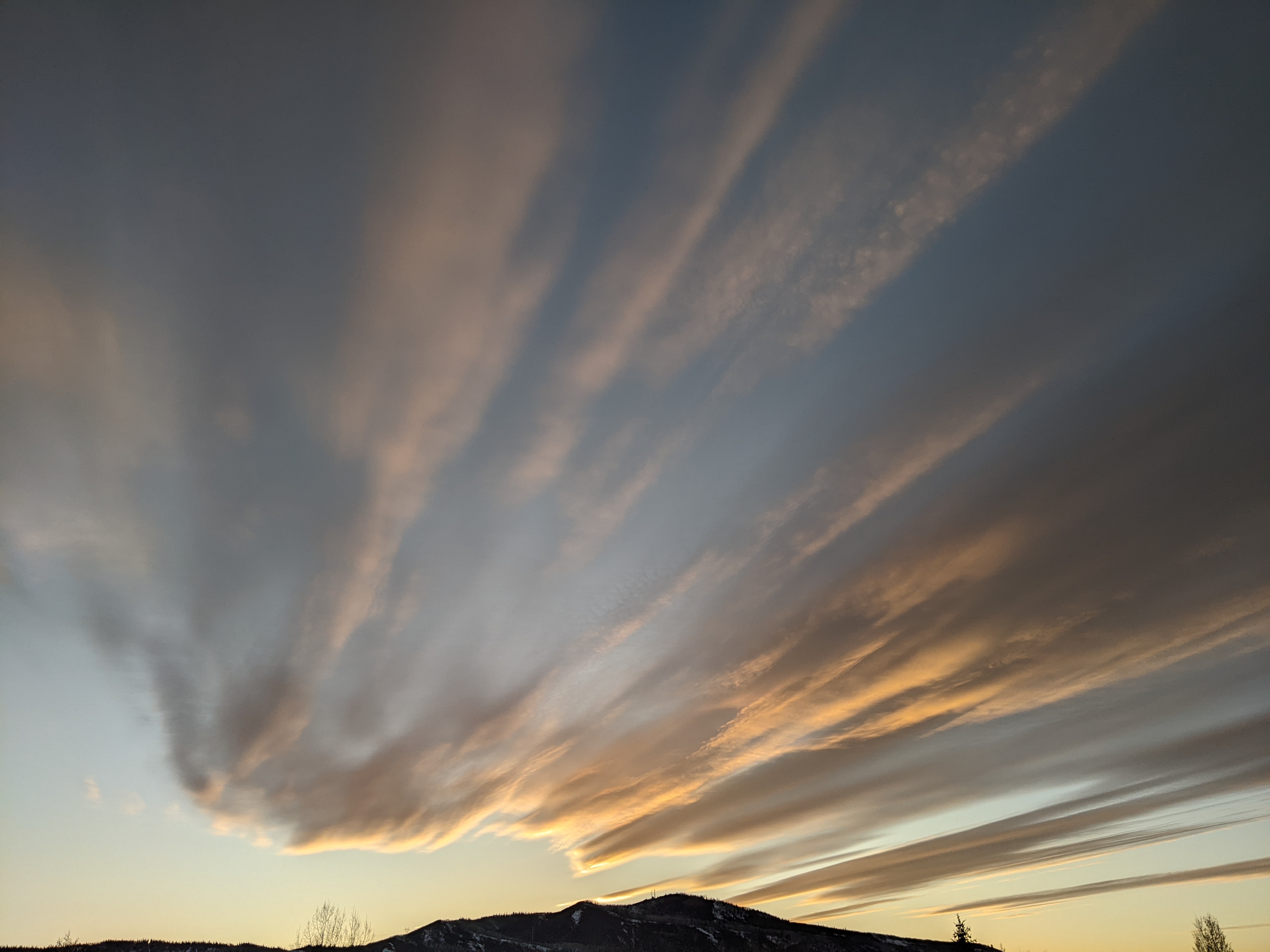
Best chance for showers later today and midweek
Sunday, August 4, 2019
Seasonably warm temperatures and mostly sunny skies are gracing the Steamboat Springs area this Sunday morning. We’ll see our best chances for wetting rains later today through tonight and again on Wednesday and Thursday as weather disturbances move near our area.
Much of the west is currently underneath a relatively moist ridge of high pressure that has slowly dried over the past few days. An indistinct weather disturbance rounding the ridge of high pressure will increase shower chances later today and tonight as the winds shift from the southwest to the northwest.
There is still a chance of afternoon and evening storms on Monday in the favorable northwest flow behind the weather disturbance, though the atmosphere will dry on Tuesday for the driest day of the work week.
Shower chances will increase Wednesday, and be even better on Thursday, as a stronger disturbance moves northward along the western periphery of the ridge of high pressure over the west and brings another monsoonal surge of moisture overhead.
Meanwhile, a series of storms spinning in the Gulf of Alaska will begin to move eastward late in the work week while flattening the ridge of high pressure over the west. This effectively bends the monsoonal moisture plume eastward and allows drier air to move overhead starting on Friday and continuing through the weekend. Additionally, winds may become breezy from the west over the weekend as the Gulf of Alaska disturbance move across the Pacific Northwest and eventually drags a weak cool front through our area early in the following work week.
Add comment
Fill out the form below to add your own comments


