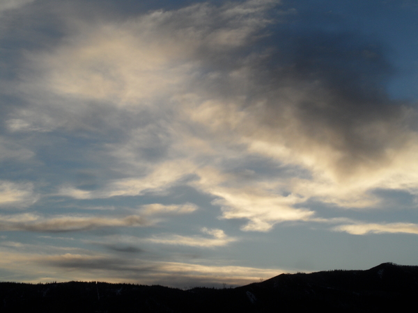
Good shower chances early and late in the upcoming week
Sunday, June 16, 2019
The unsettled weather Steamboat Springs has seen for the last several days will continue through Tuesday before drying occurs for Wednesday and some of Thursday. The unsettled weather looks to return later Thursday and extend into next weekend as another storm moves across the West.
First, thanks to those who commented on possible changes to this twice weekly forecast, and those who have not commented can still do so by following the link above or just clicking here. I had wanted to try and take this Sunday off, but lots happening as we approach the Summer Solstice on Friday at 9:54 am MDT.
Our weather currently is influenced by a couple of stormy areas to our north and southwest. Waves of energy and moisture rotating around the storm to our north and ejecting out of the storm to our southwest will conspire to bring good chances for showers and storms to our area for the next three days, with the best chances and greatest coverage on Monday and Tuesday. Like on this past Friday, the storms will be capable of localized moderate to heavy rain, gusty winds and small hail.
Meanwhile, a strong storm crossing the Gulf of Alaska will mix with some still-cold air from near the North Pole as it crosses the Pacific Northwest coast around Tuesday. Winds will increase as they turn from the northwest to the west on Wednesday, briefly bringing dry air overhead and likely eliminating any precipitation potential.
Additional Pacific energy will move into the storm early on Thursday, further increasing the winds as they turn from the west to the southwest. Also, there will be enough cold air associated with the storm to form a mostly stationary cool front extending from roughly central Utah through northern Colorado.
Another round of unsettled weather looks to start around later Thursday as the stationary front forms near our area. But this will be a tricky forecast as drier air lurks just to the south of the front, creating a relatively sharp boundary between the warm and dry or cool and showery weather.
I expect the forecast to change, but right now, Friday looks to be the most active day for our area, with that activity possibly extending into at least part of Saturday. More Pacific energy follows, and though weather forecast models disagree on the evolution of those disturbances, the current forecast bring warmer and drier weather back to our region later in the weekend.


