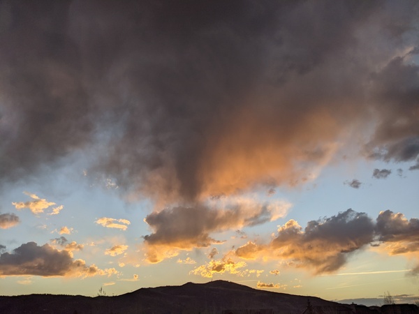
Unsettled weather to close out May
Sunday, May 26, 2019
The warm and sunny weather this Sunday morning in Steamboat Springs will last into Memorial Day morning before another cold and wet storm brings more low elevation rain and high elevation snow to north-central Colorado. The storm will last through Tuesday before the weather moderates for the rest of the work week and following weekend, though unsettled conditions and cool temperatures below our average high of 67 F will persist.
A cold and wet storm currently over north-central California will be pushed eastward across the Great Basin through the day Monday by more incoming Pacific energy. Some energy and moisture rounding the storm will increase the chances of afternoon and evening storms today that will at least initially produce more wind than rain as the lower levels of the atmosphere are dry.
While Memorial Day will start out warm and sunny, a cold front associated with the approaching storms moves through our area sometime later in the day, perhaps as early as noon, and brings falling temperatures with increasing chances of precipitation. The storm will pass over our area Monday night, but cold temperatures around twenty five degrees below average, precipitation and breezy northerly and northwesterly winds will make for quite the raw and stormy day on Tuesday. We could see around an inch of liquid water or liquid water equivalent from the storm by Tuesday night, with around 6” of snow at the top of Mt. Werner, about half that at pass level, less down to around 8,000′ and snowflakes possible in town.
Precipitation will turn more showery on Wednesday in the cold and moist unstable northwesterly flow behind the storm, and though the valley may see periods of sun between showers, the upper elevations will likely stay in the clouds.
Though temperatures will warm behind the storm, they will stay on the cool side of average for the rest of the work week and heading into the weekend as hard-to-time waves of Pacific energy and moisture continue to move over our area. For what it’s worth, current forecasts have Thursday being the least unsettled day of the upcoming week, though even then, afternoon storms are possible.


