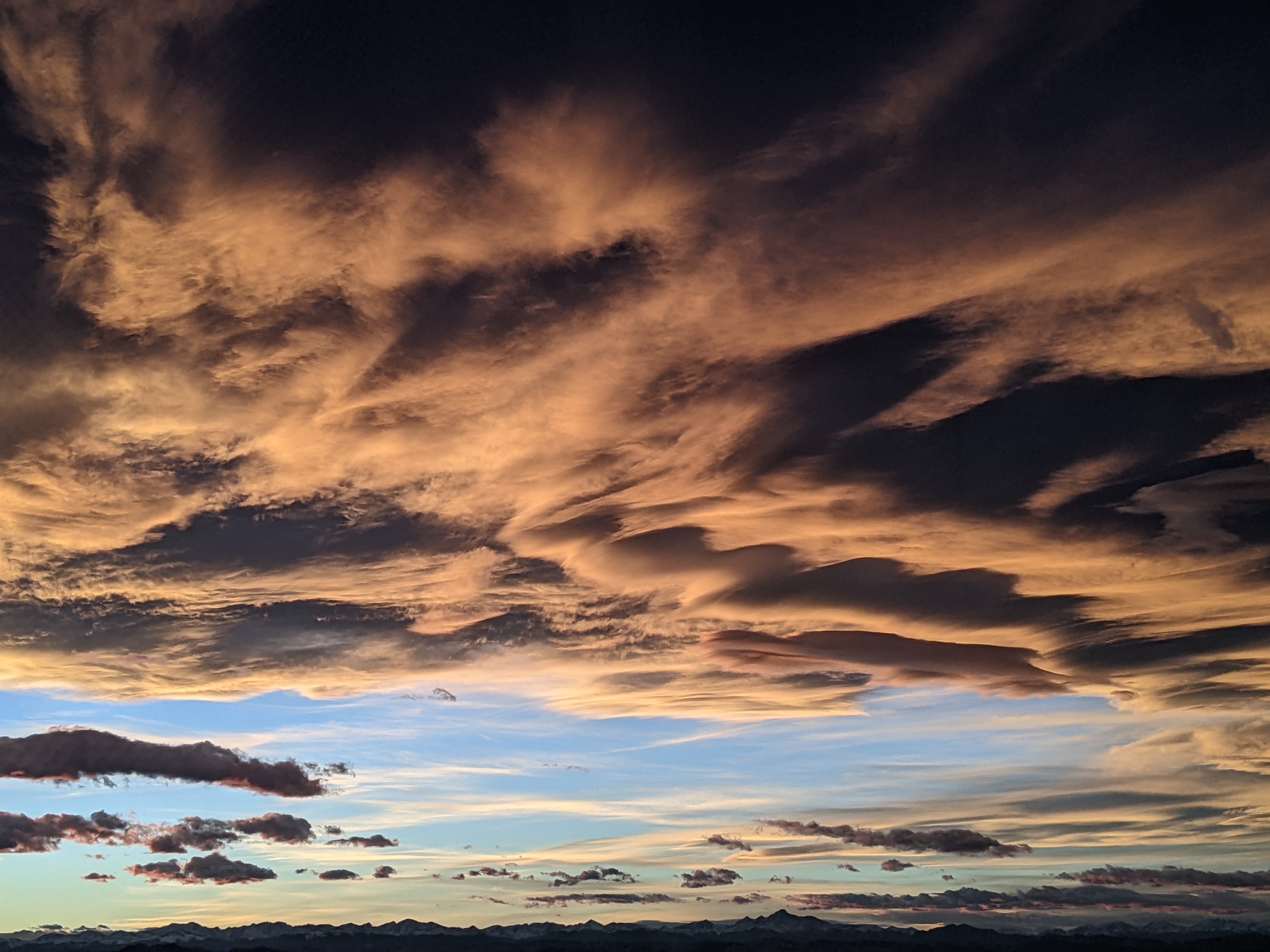
Storms to bookend Memorial Day Weekend
Thursday, May 23, 2019
A finally warm and sunny Thursday morning in the Steamboat Springs area was marred only by strong and gusty easterly winds ahead of the next storm timed for this afternoon. Some weather normalcy will return for most of the long Memorial Day weekend before an additional cold and wet storm brings another round of beneficial precipitation with more higher-elevation snow to our area later on Monday.
But first, the very impressive late-spring storm earlier this week brought close to 1.5” of liquid equivalent to some locations in the Yampa Valley from Monday afternoon through Wednesday afternoon along with several inches of mid-May snowfall. We also saw about 15” of snow on the Powdercam near the top of Mt. Werner with the Tower Snotel reporting 1.7” of water, and about a foot at the Rabbit Ears Snotel that contained 2.3” of water!
After a sunny, warm and windy Thursday morning, clouds will increase ahead of the next strong cold front that should arrive around mid-afternoon as a large piece of a storm in the Great Basin ejects over our area. Though we may see some snowflakes in the valley, we could see another 2-5” of snow around 10,000′ and half that down to around 8,000′.
Precipitation should should taper off overnight after the storm passes, with plenty of sun and some warming, but still seasonably cool temperatures forecast for Friday. There will be a chance of afternoon showers as the strong May sun cooks the remaining moisture in the atmosphere.
But even as this storm departs, another strong and cold Pacific storm slides down the West Coast through the first half of the weekend and moves across the Great Basin on Monday. Ahead of that storm, temperatures will warm in southwest flow under plenty of sun towards our average of 66 F on both Saturday and Sunday, with a chance of afternoon or early evening showers each day.
At some point on Memorial Day, another strong cold front associated with the Great Basin storm will push through our area, though there is weather forecast model disagreement on whether this happens early or late in the day. In any event, the front will mark the beginning of another period of stormy weather and unseasonably cold temperatures that will last through midweek at least. Over an inch of liquid water equivalent is possible with accumulating snows once again likely at the higher elevation.
There is forecast uncertainty after that as it is not clear if more incoming Pacific energy tracks across the Great Basin, continuing the unsettled weather, or forms an eddy near southern California that allows us to dry out for the end of the work week.
Add comment
Fill out the form below to add your own comments


