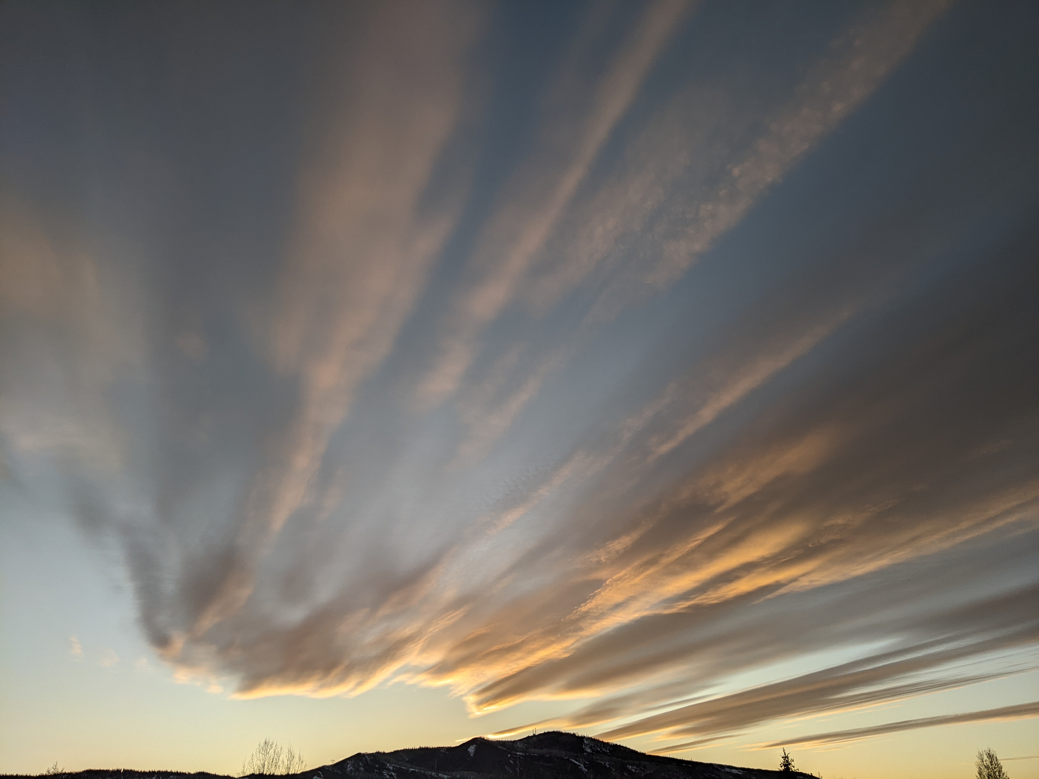
Active weather week ahead
Thursday, April 25, 2019
After a weak cool front passed through the Steamboat Springs area last night, this mostly sunny Thursday afternoon is currently seeing temperatures around our average of 57 F. However, the beautiful and quiet weather this past week will change starting on Friday as several storms pass near or over our area through the next week.
Ahead of a cold storm currently spinning in the Gulf of Alaska, some energy and moisture moving through the storm will drag a cool front through our area on Friday afternoon or evening that will be stronger than the one last night. Winds will increase first from the west during the day Friday and eventually northwest after the front passes and temperatures cool. Being springtime, we can expect some possibly strong thunderstorms during the late afternoon and early evening that may be accompanied by some small hail and gusty winds, along with some snow at the highest elevations.
Showers may linger into Saturday morning before a transient ridge of shallow high pressure builds ahead of the advancing Gulf of Alaska storm., bringing mostly sunny skies and pleasant temperatures near our average.
The active weather resumes on Sunday, perhaps early in the day, as we see some showers ahead of the cold front associated with the storm to our west that is forecast to pass through our area later Sunday. We should see accumulating snowfall on Mt. Werner along with snowflakes in the Yampa Valley overnight as the storm moves through.
Following the cold front, a complicated weather pattern ensues as not only do we have a very moist leftover storm currently off the coast of southern California taking aim on our area, but an additional Gulf of Alaska storm that is colder and stronger than the previous one.
The end result is a somewhat stationary front that is draped near our area for most of the work week separating the cold and moist air to our north and northwest with the warm and very wet air to our southwest. Monday will start quite cool and showery, though temperatures moderate during the day as the warm storm approaches and passes near our area around Monday night or early Tuesday. There will likely be periods of heavy rainfall later in the day and overnight, which water managers and emergency personnel will surely be watching closely as that may contribute to flooding concerns.
Showers will lighten, but may not completely end during the rest of Tuesday before the second Gulf of Alaska storm swings through the Pacific Northwest and travels across the Great Basin during the day. Winds will once again increase from the west ahead of another good cold front timed currently timed for Wednesday.
The unsettled weather looks to continue for the end of the work week and the following weekend as additional storms of varying strength are forecast to pass near our area.
Add comment
Fill out the form below to add your own comments


