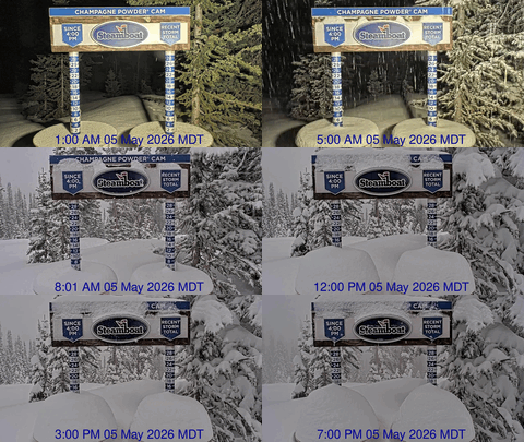
Sixty degree Tuesday followed by snow on Wednesday
Sunday, April 7, 2019
We are currently experiencing a brilliant and seasonably cool Sunday morning after a weak cool front swept through the Steamboat Springs area yesterday afternoon. Plenty of sun and warming temperatures are expected through Tuesday before a very active Pacific jet stream brings a cold winter-like storm to our area on Wednesday. Unsettled and cool weather will follow heading into Closing Weekend with perhaps a break in the storminess forecast for our last day of the season on Sunday.
Enjoy the sun and and warming temperatures early in the work week as a transient ridge of high pressure moves over the West. We may even hit the sixty degree mark on Tuesday in breezy southwest flow ahead of the incoming Wednesday storm, which is ten degrees above our average of 50 F.
The Wednesday storm will be traveling across the Great Basin on Tuesday, and colder temperatures along with some light snow begin filtering into our area late Tuesday night or early Wednesday morning. The storm will intensify as it crosses the Continental Divide leading to some uncertainty in the evolution of the storm. But moderate to sometimes heavy snow is expected during the day Wednesday, even down on the Yampa Valley floor where high temperatures are expected to be fifteen or twenty degrees below average.
I’ll guess at 6-12” of snow at mid-mountain by Thursday morning, with snowfall starting relatively dense during the day but becoming fluffier as temperatures continue to drop during the day and overnight.
Snows look to taper off during a cold Thursday morning that will see low temperatures in the Yampa Valley five to ten degrees below our average of 24 F.
Additionally on Thursday, a second Pacific storm that traveled across the Gulf of Alaska and mixed with some cold air from the northern latitudes drops into the Great Basin. This storm is forecast to stay to our west and eventually south, and we will be caught in the col between the storms with weak and possibly dry northerly flow. This will keep our area cool and relatively dry for later Thursday through Friday, along with another chilly Friday morning and continued below average high temperatures.
A third weaker Pacific storm looks to graze northern Colorado on Saturday, with some accumulating snows from Friday night through Saturday night possible. However this is very uncertain as it depends upon the evolution of the previous storms, especially the second one, where there is substantial model disagreement.
Needless to say, a dry forecast for Closing Day from at least one of the weather forecast models is subject to change, though they do agree on an active storm track for the following week, and likely beyond.


