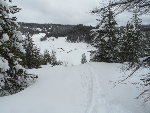
A brief break in the weather before snowfall resumes Wednesday
Sunday, March 3, 2019
The current storm is winding down in Steamboat Springs this Sunday afternoon after leaving around 2 feet of snow at mid-mountain at the Steamboat Ski Area over the last two days. Our area will see a brief respite in the winter weather on Monday and Tuesday before a couple of Pacific storms brings snowfall back to our area by midweek that could last into next weekend.
Currently, bands of snow showers are expected to hang around near our area this afternoon and evening with another 1-4” of snow possible, depending on the location and persistence of the snow bands. Cooler air will continue to filter in through the overnight this Sunday as the snowfall moves south of our area, leading to a chilly start to Monday morning, especially if the skies clear.
The sun is expected to reappear on Monday and Tuesday as temperatures return to seasonable levels on Monday with further warming on Tuesday, even after another chilly start to the day as a dry cool front passes by Monday night.
Meanwhile, our next weather-maker is spinning well off the California coast underneath a persistent ridge of high pressure located over the Gulf of Alaska. Snow showers producing relatively heavy high-density snow could start as early Tuesday night as a lobe of energy and moisture is ejected out ahead of the storm with minimal accumulations by Wednesday morning.
Showers will intensify later Wednesday and overnight as temperatures rise, with rain or a rain-snow mix possible at the lower elevations, before temperatures cool by night time. Even after the cooling, the storm is not very cold, and 5-10” of relatively dense snow is possible by Thursday morning.
Trailing energy will likely keep snow showers going through the day Thursday and overnight, leading to another 2-5” of snow for the Friday morning report.
There may be a break in the weather for a time during Friday before another strong Pacific storm barrels into the Gulf of Alaska ridge and mixes with a cold storm that develops off the Pacific Northwest coast. Though I expect the details to change, some showers are currently expected to develop by late in the day Friday before moderate to sometimes heavy snowfall starts overnight into Saturday morning with significant accumulations possible.
Save your soles! You suspect that the grating and grinding sounds you hear from your ski boots as you walk across hard surfaces can’t be good. In fact, worn boot soles make your binding unsafe as it interferes with the boot-binding interface. Cat Tracks are a flexible protector that keeps your boot soles pristine, and adds a cushion for walking comfort. When it’s time to click into bindings, I take them off and stash them in my coat pocket. Yaktrax
are similar, but I have not used them since they appear they would take up a bit more space in my jacket pocket. But you get a rocker sole that promotes a natural stride which may be worth the space sacrifice. If I did not have to carry them around all day, these would be my choice.
Add comment
Fill out the form below to add your own comments


