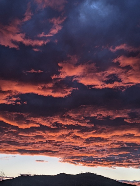
Major winter storm on our doorstep
Thursday, January 17, 2019
A Pacific storm that has and is currently hammering the Sierras (4 feet of snow in the past two days at some ski areas so far!) will move across our area from this Thursday afternoon through Friday night and bring significant snowfall to the Steamboat Springs area. We’ll see a short break in the snows early Saturday and a longer break Sunday before another strong Pacific storm brings another round of significant snowfall from about noon on Martin Luther King Jr. Day through midnight. More chances for snow of varying intensity follow for the rest of the work week.
Light snows should pick up this afternoon as a lead wave of energy and moisture ahead of the parent storm entering the Great Basin moves through Colorado. Snows will turn moderate to heavy around the sunset hours for a time (one of the two periods in the day I’ve coined Steamboat Magic where snowfall rates often intensify; the other is the around the sunrise hours) as travel becomes difficult.
Snowfall should let up a bit around midnight before intensifying again as the main storm approaches soon after. Moderate to heavy snowfall rates are expected through report time, and I would guess we’ll see 6-12” of snow for the Friday morning report.
Snow intensity and density should turn much lighter several hours after the front passes, but will likely continue through Friday night as they taper off by Saturday morning. I would guess an additional 2-5” of increasingly fluffy powder during the day and 1-4” overnight which would be reported Saturday morning.
Though the storm is well east of our area by Saturday morning, some energy and moisture riding over the top of a building West Coast ridge behind the storm may start light snows again later Saturday and overnight, especially at the higher elevations.
Skies should clear and temperatures warm on Sunday as the western ridge of high pressure is forced eastward over our area ahead of the next very strong Pacific storm. This one will bring a quite strong cold front through the area during the day on Monday, with moderate to heavy snows currently expected from about noon on Martin Luther King Jr. Day through midnight, along with difficult travel conditions. Potential snow totals from this storm are in the 6-12” range if the current weather model forecast holds.
Much colder temperatures are expected on Tuesday and Wednesday as the cold air from the Monday storm is reinforced by several waves of energy and moisture traveling over a building West Coast ridge. The position of the ridge has been trending further west in weather forecast models as a vortex of cold air over Hudson Bay expands westward and southward and brings bitterly cold temperatures to the eastern two-thirds of the country.
The position of the West Coast ridge is important for Steamboat Springs as the further westward solution now allows waves of energy and moisture riding over the top of the ridge to continue to impact our area, especially at the higher elevations. Though I expect the details to change, at least light snow showers look to continue for each day of the work week, with snows becoming heavier around Wednesday night and Thursday night as stronger and wetter waves quickly pass through our area in the favorable northwest flow.
The weather for next weekend is uncertain at this time as it will depend upon the eventual position of the West Coast ridge.
I absolutely love this super-warm split-finger mitten-glove! I’m on my second season with these and am very impressed with their durability and warmth, especially when combined with the standard HotHands handwamers. Three fingers sit together with the index finger separated, but there is enough room to scrunch all your fingers together while on the lift, which is especially nice if you have a handwarmer in the mitten-part of the glove.


