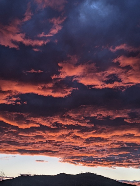
Third storm in this cycle on track for later today
Sunday, November 4, 2018
The third and most powerful storm in this cycle that began last Thursday will start moderate to heavy snows over the Steamboat Springs area by this Sunday afternoon. Snow showers will taper off later Monday and linger through Tuesday before a colder and drier airmass moves over our area around midweek and heading into next weekend.
I’d like to mention that my timing in the last forecast discussion was close on the second storm in this series, which started Friday night, but not quite right, as we were short of my forecast (4-8” at mid-mountain and 6-12” up top) by first thing Saturday morning. However, the heavy showers starting Saturday morning behind the front in favorable cool and moist northwest flow brought the storm totals up to 6” at mid-mountain and 11” up top by the afternoon. For those skiers who base their ski day plans on the early morning ski report, take note!
In any event, I expect good things from the storm starting today in continued cool and moist northwest flow, with snows becoming moderate to heavy by sunset and continuing into the overnight hours. The bulk of the expected 6-12” at mid-mountain and 8-16” up top should occur overnight, but showers will continue through Monday as they taper off. Travel over the passes will once again be difficult, and high snowfall rates may make travel difficult at times even at the lower elevations.
Light and intermittent snow showers will persist for Tuesday before a series of fairly dry cold fronts pass through the region, currently timed for Wednesday, Thursday night and Saturday night. It will be cold enough for snow down to the Yampa Valley floor, though the dry nature of the fronts mean we’ll see only brief and likely non-accumulating snow showers as they pass.
Warmer and drier weather is advertised for the beginning of the next work week as the ridge of high pressure off the West Coast moves inland and over the Rockies. But more incoming Pacific energy behind the ridge keeps it moving to the east, with another round of active weather possible behind the exiting ridge.
Add comment
Fill out the form below to add your own comments


