Warmer and drier for the work week after cold fronts and snow tonight and Sunday
Thursday, October 11, 2018
The active weather pattern over the western states continues through this weekend before warmer weather appears after a very wintry Sunday and cold Monday. Currently this Thursday afternoon, the temperature in Steamboat Springs is over 20 degrees below our 60 F average, and it feels even cooler than that with precipitation falling ahead of the next weather feature tonight.
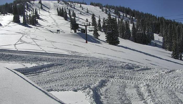
A cold front will pass through northern Colorado this evening, turning the current cold rain showers into snow before ending around midnight. We will get a welcome break in the precipitation for Friday and Saturday as the sun returns and temperatures rebound, though they will still stay below average.
But very cold air is forecast to arrive for Saturday night, or as early as Saturday afternoon, as a wave of Pacific energy moves over a ridge of high pressure off the West Coast and mixes with some cold western Canadian air. Weather forecast models have struggled with the westward extent of the snow, with some initially keeping the bulk of the precipitation along the Front Range, but current trends indicates snowfall with the front Saturday night and at least some snowfall for most of Sunday in the cold, moist and unstable northwest flow behind the front. Temperatures in the valley will struggle to reach the thirties and the snow at higher elevations should be relatively low-density and powdery.
Snowfall will taper off through the day, but will be followed by an even colder blast of dry air Sunday night into Monday morning, with low temperatures possibly falling into the single digits to start the work week!
It will take some time for temperatures to recover after Monday’s very cold start, but the ridge of high pressure off the West Coast is forecast to move inland early in the work week, and this will bring warming temperatures closer to, but still below normal, starting Tuesday and lasting through the following weekend.
Normally, I would expect sunny skies with this warmer weather, but a piece of the weekend storm that initially gets left behind off the southern California coast briefly mixes with the former hurricane Sergio. While the bulk of Sergio looks to travel across New Mexico during the weekend, the leftover West Coast storm is forecast to slowly drift over the Desert Southwest and then to the northeast as the work week wears on, and we may see some clouds and cooler temperatures associated with that as the weak storm approaches.
Add comment
Fill out the form below to add your own comments


