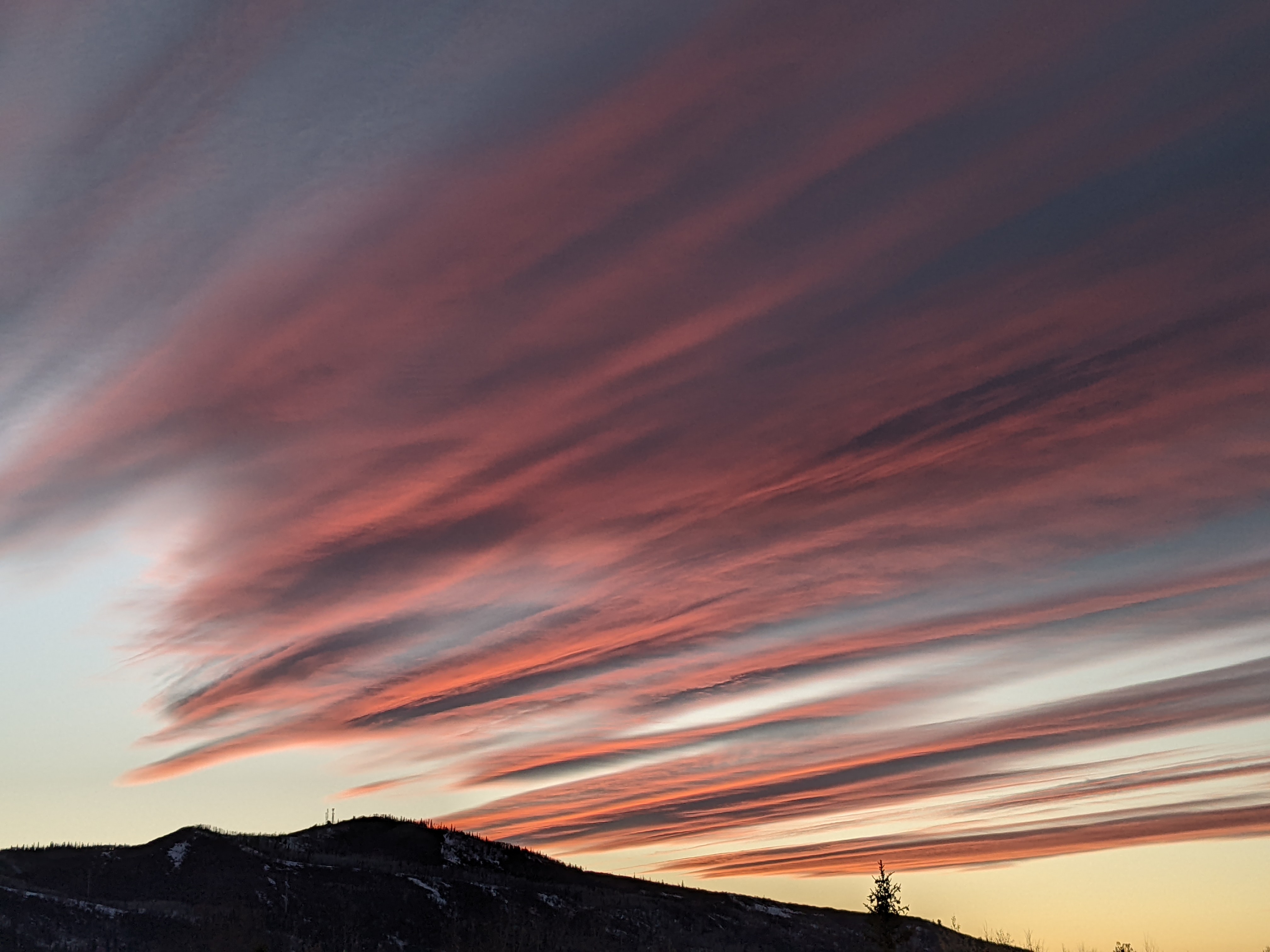
Warm and wet Friday ahead of next splitting storm Monday
Thursday, March 22, 2018
A ridge of high pressure rests over the spine of the Rocky Mountains today, and moisture traveling through this ridge will keep warm temperatures and clouds over the Steamboat Springs area on this Thursday. Meanwhile, a strong storm in the Gulf of Alaska has kicked what was once part of this past Monday’s 16” storm, which was loitering between Hawaii and the West Coast, eastward, bringing another round of significant precipitation to the Sierras overnight and leaving 30” at Mammoth Mountain.
The old storm will cross the Great Basin today and affect the weather over our area on Friday, validating the slower European ECMWF solution advertised in my last forecast. While temperatures will be warm enough for rain showers to the top of Mt. Werner in advance of the storm in breezy southwest flow, most of the precipitation looks to hold off until the storm moves over our area sometime between sunrise and noon on Friday and drags a weak cool front across our area.
Showers will intensify as the front moves through, becoming moderate to heavy for a time, and bringing snow showers down to the Yampa Valley floor. We do see some some moist northwest flow behind the storm for some of Friday, and that should keep snow showers going through the day at the higher elevations as they end at the lower elevations.
I don’t expect much, if any, snowfall to be reported by Friday morning, but we will see some accumulating snowfall during the day. Snowfall amounts at mid-mountain are tricky to forecast due to the warm springtime temperatures, but 2-5” of relatively dense snow there, with higher amounts at higher elevations, are possible.
The Gulf of Alaska storm moves inland over the weekend, and turns our winds back to the southwest. There is some drier air in this southwest flow, and northern Colorado will be between the driest air to our south and moistest air to our north. We should see a generally pleasant weekend with seasonable temperatures and some sun and clouds.
Meanwhile, the once promising Gulf of Alaska storm splits late in the weekend, with the southern piece staying to our west and diving southward across Nevada while the northern piece translates across the northern third of the U.S.
The end result is our area will be mostly between the storms, and Monday and Tuesday will feature a small battle between the southerly flow ahead of the storm to our south and northerly flow behind the storm to our north. While Monday looks to stay mostly dry, Tuesday and possibly Wednesday are more uncertain as the amount of energy split between the northern and southern storms will end up determining our weather.
In any case, a ridge of high pressure builds over the West Coast midweek, and this should provide a break in our active weather. However, we may still be susceptible to passing showers as storms travel down the east side of the ridge of high pressure and possibly graze our area.
Want to instantly improve your skiing? Then you’ll want progressive flex in your ski boot, and the Booster Power Strap delivers by elastically fastening together the lower leg and the ski boot. You get direct ski control so skis start turning sooner and end the turn faster.
Add comment
Fill out the form below to add your own comments


