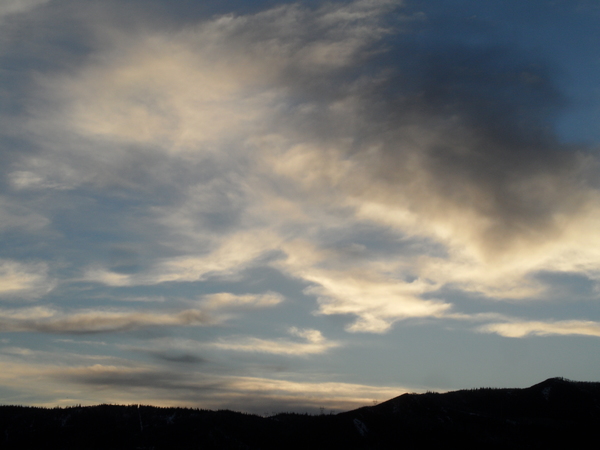
Some snow for Winter Carnival weekend
Thursday, February 8, 2018
The large-scale weather pattern over North America is still dominated by a ridge of high pressure off the West Coast and a large vortex of cold air over Hudson Bay. Several storms are lined up to travel over or through the ridge of high pressure to our west and mix to some degree with the cold air over western Canada. There will be chances of accumulating snows in the Steamboat Springs area Saturday and early and late in the coming work week.
Generally, I am not impressed with the first two storms, though the forecast has been dripping with uncertainty for the past few days and could certainly change. Right now, moisture ahead of the Saturday storm will continue to stream over northern Colorado today and tomorrow, with some energy forecast to graze our area on Friday which may lead to some light snow showers, especially at the higher elevations, and breezy conditions.
The incoming storm will shear apart as it crosses Colorado on Saturday, with our area left between the northern and southern branches of the storm. Snow chances will be highest on Saturday as a piece of the cold front stalls near our area, but the disorganized storm is promising greater snow amounts to our south as that area is closer to the southern end of the storm.
The cold front finally blasts through our area around Saturday evening with clearing skies and cool temperatures forecast behind the front. We could see as much as 1-4”of snow on Saturday which would be reported Sunday morning.
Meanwhile, another Pacific storm is forecast to move through the western ridge of high pressure, and this one is forecast to split as some energy digs into the southwestern U.S. and some swings eastward across and north of our area on Monday. We will see sun and warming by Sunday afternoon ahead of this storm, but that looks short-lived as the northern piece of the storm moves over our area, starting light snow showers again on Monday.
The weather will turn quieter after the Monday storm as we are between the departing northern part storm to our east and the left-behind storm to our southwest. The next chance of snow around the end of the work week occurs as the southwestern storm is dislodged by another Pacific storm traveling through the western ridge of high pressure.
At this point, the end-of-week storm, as portrayed by the current weather models., is looking the most promising as the southwestern storm spends some time moistening off the southern California coast during the work week. The new Pacific storm is forecast to mix with both cold air from Canada and the southwestern storm leading to snow chances for our area around Thursday. However, the number of moving pieces between now and then leads to a very low-confidence forecast.
Stop battling cold feet! I’ve used the awesome Hotronic foot warmers from their beginnings, and can honestly say that each iteration of the product is better than the last. I have the S4 custom, attached to my powerstrap so they never fall off, and my toes stay warm for my entire ski day.
Add comment
Fill out the form below to add your own comments


