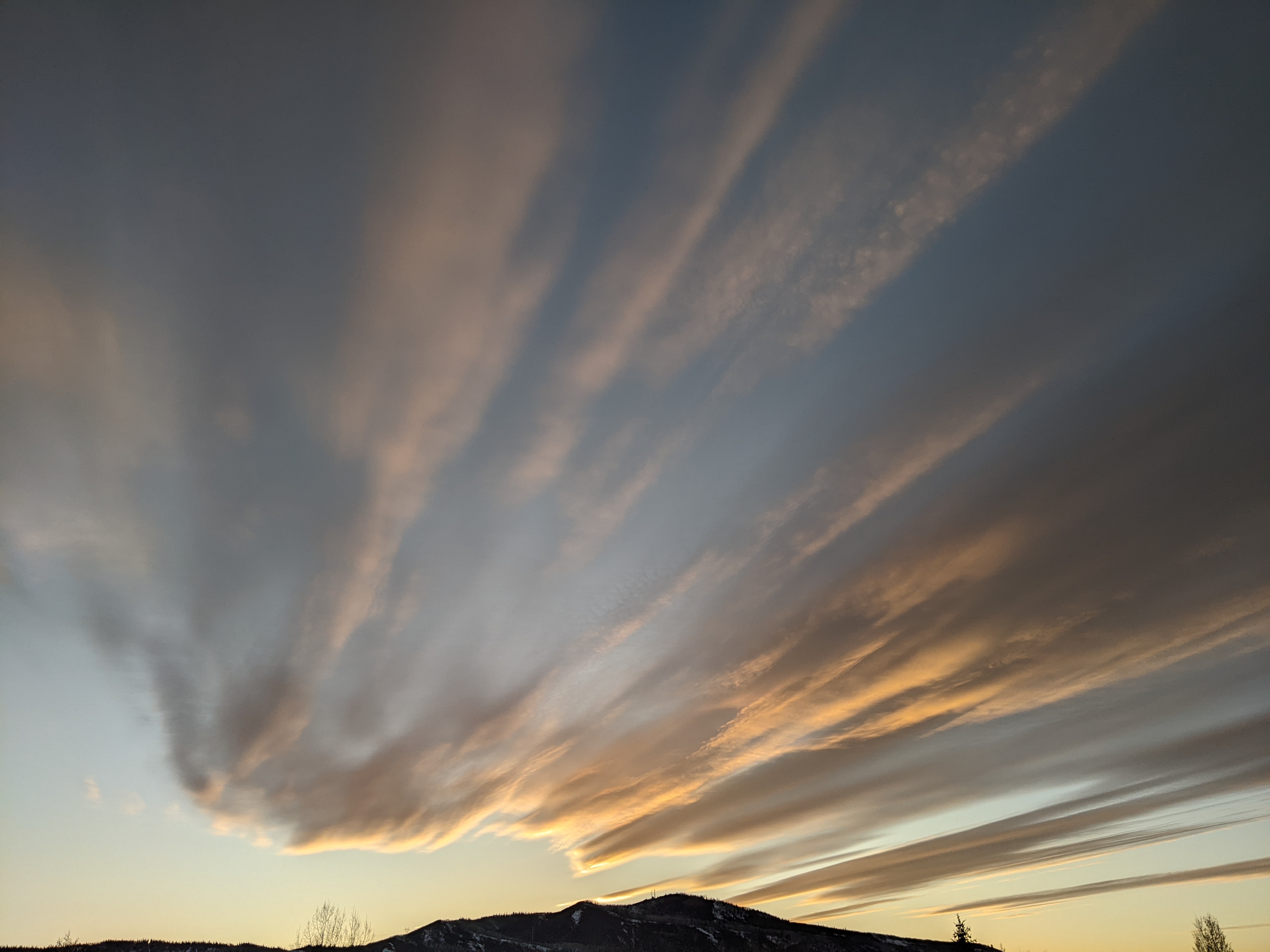
Weather slowly turns more seasonable for the week ahead
Thursday, August 10, 2017
A ridge of high pressure in British Columbia is sandwiched between a strong storm in the Gulf of Alaska and a broad trough of low pressure over the eastern two thirds of the country. Energy traveling southward from western Canada along the east side of the ridge has brought a series of cool fronts through the Steamboat Springs area this past week. Additionally, a weak area of low pressure off the northern California coast has supplied a steady stream of moisture for our area, and this combined with the cool fronts has brought significant moisture to the Yampa Valley.
Additional cold air dropping into the Gulf of Alaska first elongates the storm located there southward before moving it eastward early in the next work week. As this happens, the old low pressure area off the northern California coast gets kicked east-northeastward on Friday. Brief ridging occurs over our area on Friday ahead of that leading to a slight chance of afternoon storms.
However, pieces of the old California low will move over our area on Saturday and Sunday, and combine with a couple more surges of cool air from the north to increase the chance of storms for both days again.
There is a fair bit of uncertainty for early next week with respect to the evolution of the Gulf of Alaska storm. At one point it looked like drier westerly flow would overspread the area as the storm traveled to our north, but now there are indications that some of the storm will be left behind off the California coast. It is not clear whether our area will experience a moist southwest flow, which would produce storms for Monday and Tuesday, or a drier westerly flow.
For what it’s worth, models currently agree that the midweek period will be drier, though the following weekend may be affected by energy left off the California coast that eventually propagates inland.


