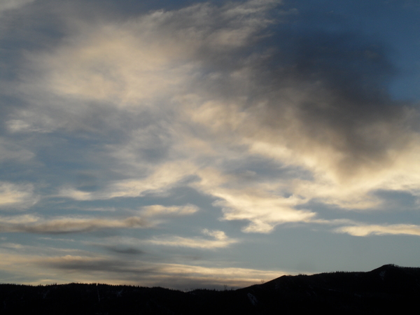
Showers for the next week with more persistent showers today and Saturday
Thursday, May 25, 2017
While the bulk of a storm currently affecting the Steamboat Springs area is located in the southern Canadian Prairies, just north of Montana and North Dakota, a cold front moving into the Great Basin on the backside of that storm will keep a somewhat stationary front over the northern borders of Utah and Colorado through Saturday. Showers will be the heaviest and longest-lasting with cooler temperatures today and Saturday, as the stationary front moves southward, with Friday being a less active and warmer day as the once-cool front retreats northward back over our area as a warm front.
Some energy lingers over the southern Great Basin even as the storm passes east of our area by Saturday night, and that will contribute to the possibility of much lighter afternoon showers for Sunday and Memorial Day along with near-average temperatures.
Around Tuesday, a large diffuse area of low pressure crosses the northern Baja coast. Though the exact track of this low pressure is in question, models agree that subtropical moisture will be drawn northward across New Mexico and Colorado on the front-side of the storm, leading to heavier afternoon showers on Tuesday and Wednesday.
More uncertainty exists around midweek as the European ECMWF has uncharacteristically changed its solutions from earlier runs and now has the storm moving over Colorado later in the work week. The American GFS, on other hand, keeps the bulk of the storm south of us in the Chihuahuan Desert over northern Mexico and southern New Mexico. Continued afternoon showers are likely with this solution while a wetter period later Thursday or Friday is advertised by the ECMWF.
Add comment
Fill out the form below to add your own comments


