Unsettled spring weather to continue
Monday, April 24, 2017
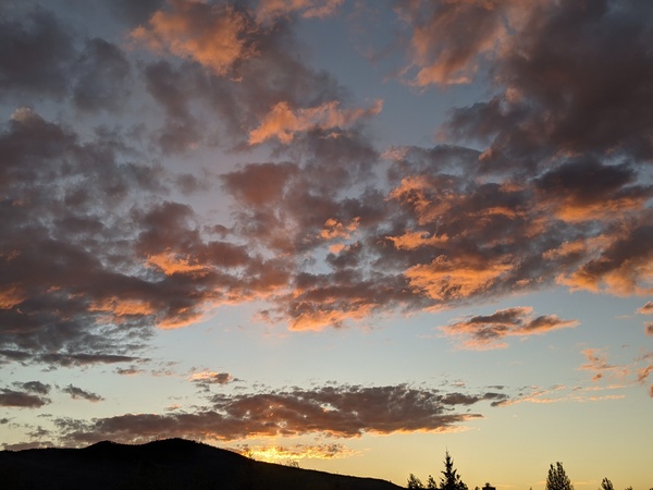
A persistent trough of low pressure will remain over the western U.S. this week, continuing the unsettled spring conditions over the Steamboat Springs area. There will be plenty in the weather grab-bag this week including sun, clouds, rain, snow and possibly thunder.
Northwest flow associated with the trough will drive at least three disturbances through the west this week, with the first moving over our area tonight. Showers will be most numerous this evening, with snow at the higher elevations lowering to the valley bottom overnight. Normally, cooling northwest flow is our ideal snow-producer, but moisture wanes after midnight limiting the on-mountain accumulations to around 2-5” by the morning.
The second wave is forecast to move southwest of our area through the Four Corners region tomorrow and is responsible for diverting the moisture away from northern Colorado tonight. The end result is we will be between the initial wave to our north and the second wave to our south, leaving a cool Tuesday with a mix of sun and clouds and possibly some showers.
More pronounced drying will appear for Wednesday as the pair of waves moves to our east, providing for more sun especially early in the day before the threat of afternoon showers once again appears.
The third and coldest wave in this series of storms noses into our area Wednesday night in the still prevalent northwest flow. Another round of accumulating snows is expected for the mountain in the range of 2-5”, with some light accumulations on the grassy surfaces of the valley by Thursday morning.
Additional energy feeding into the storm will keep snow showers going on Thursday before the storm again splits by Thursday night, with energy centers over southwestern Nebraska and the Four Corners by Friday morning. The complicated nature of the storm combined with it being several days away makes the details of the forecast uncertain, but right now the storm system is not forecast to be east of our area till the second half of the weekend. This keeps the cool and unsettled weather around through Saturday with snow the likely precipitation type in the valley for both Friday and Saturday.
While we will see some warming and drying behind the storms by Sunday as they are forecast to be east of our area by then, some moisture in northwest flow quickly returns by later Sunday and will keep the possibility of light rain showers around for the beginning of the next work week.


