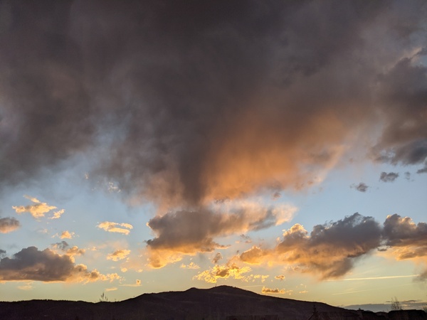
Warm and dry until next week
Monday, March 13, 2017
A Gulf of Alaska storm has pumped up a ridge over the western U.S. that will lead to very warm temperatures for most of the coming week. A small disturbance ejecting from the storm will flatten the ridge and may affect the region with clouds and possibly light showers as it moves north of the Steamboat Springs area later Thursday and Friday.
The western U.S. ridge is forecast to quickly rebound for the weekend, quickly returning our temperatures to above normal.
Meanwhile, much further to our west off the coast of Japan, a large storm will form this week that is forecast to break down the dominant Bering Sea ridge over the weekend and allow a strong subtropical jet to cross the Pacific and eventually make landfall early in the next work week.
Additionally, the polar jet stream will no longer be diverted by the disappearing Bering Sea ridge, and cold air will pour into the central Pacific from the northern latitudes, further strengthening the subtropical jet stream. This pattern change may bring the return of long-lasting wet and stormy weather to the western U.S. around next midweek.


