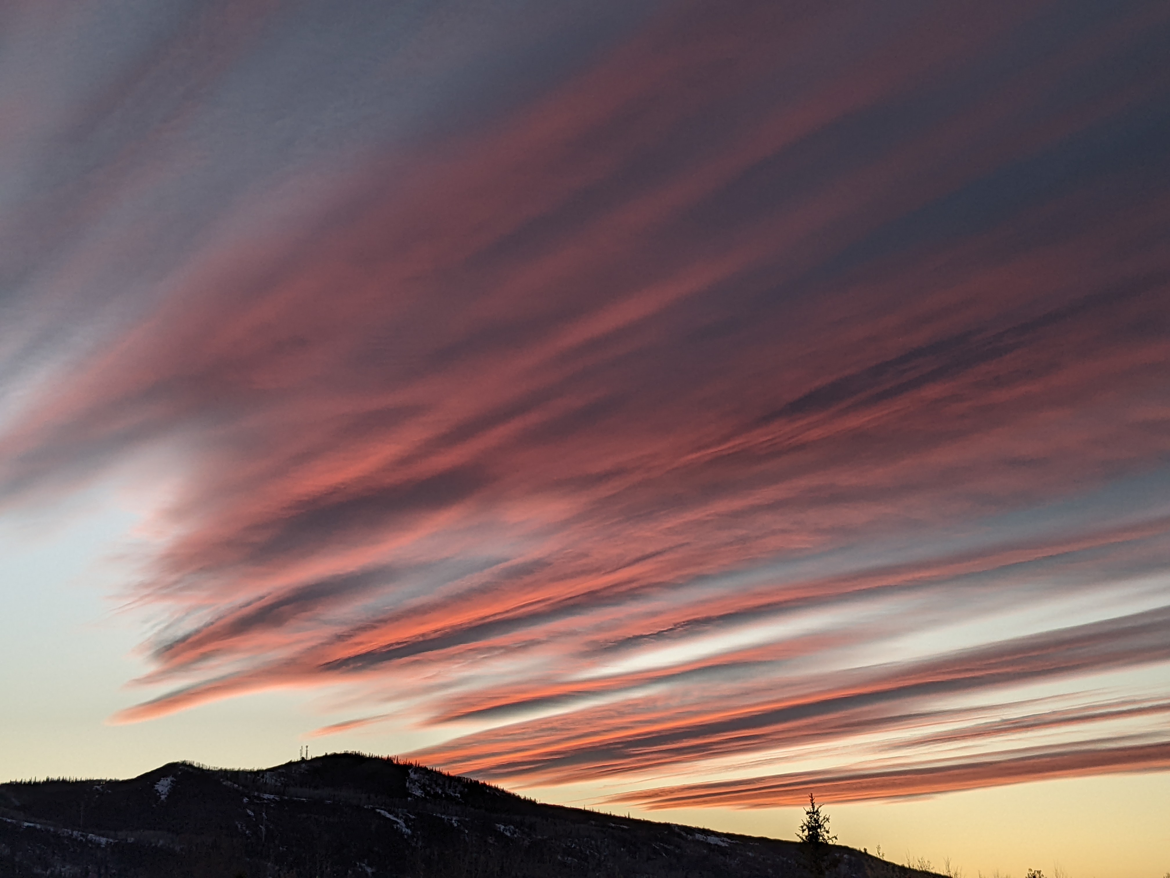
Cold and snowy for Christmas Day
Friday, December 23, 2016
A strong storm from the Gulf of Alaska is currently affecting the West Coast and will cross the Great Basin on Saturday, bringing a cold and snowy present to Steamboat Springs for Christmas Day. Ahead of the storm, mid and high level moisture carried by windy south to southwesterly flow will overspread the area.
The warm and windy pre-frontal environment looks to last until early Christmas morning, with the American GFS slowing the system down more similar to earlier model runs from the European ECMWF. Precipitation should start between midnight and sunrise, and though models keep a tongue of warm air around as Gulf of Mexico warmth and moisture wrap around a strong surface low in northeastern Colorado, it does look cold enough for mostly snow in the valley.
I would expect only slight accumulations of dense snow for the Sunday morning report due to the later arrival of the cold front, perhaps in the 1-4” range. The front will barrel through the area Sunday morning with a burst of snow, wind and rapidly falling temperatures. Mountain top flow will quickly veer to the northwest behind the storm which is very favorable for Mt. Werner, and moderate to heavy snows will occur through the day, making for excellent Sunday afternoon skiing in winter storm conditions. It will, however, make for difficult or sometimes impossible travel conditions.
Snow will gradually weaken overnight until lingering snow showers end around noon on Monday. I would expect 5-10” by the Monday morning report with another 1-4” between report time and noon.
After a clear Monday night, the Yampa Valley will start out quite cold Tuesday morning, though temperatures should moderate during the day under sunny skies.
The next wave in the Pacific jet stream will move across the Pacific Northwest on Monday and the northern Rockies on Tuesday, bringing some moisture to northern Colorado and leading to lightly accumulating snow showers for all of Wednesday.
Thursday and possibly Friday might be in-between days as there is considerable model disagreement for next weekend. The American GFS phases another Pacific wave with some very cold air in western Canada and brings some sort of storm through the area during New Year’s weekend, while the European ECMWF builds a ridge over Colorado.


