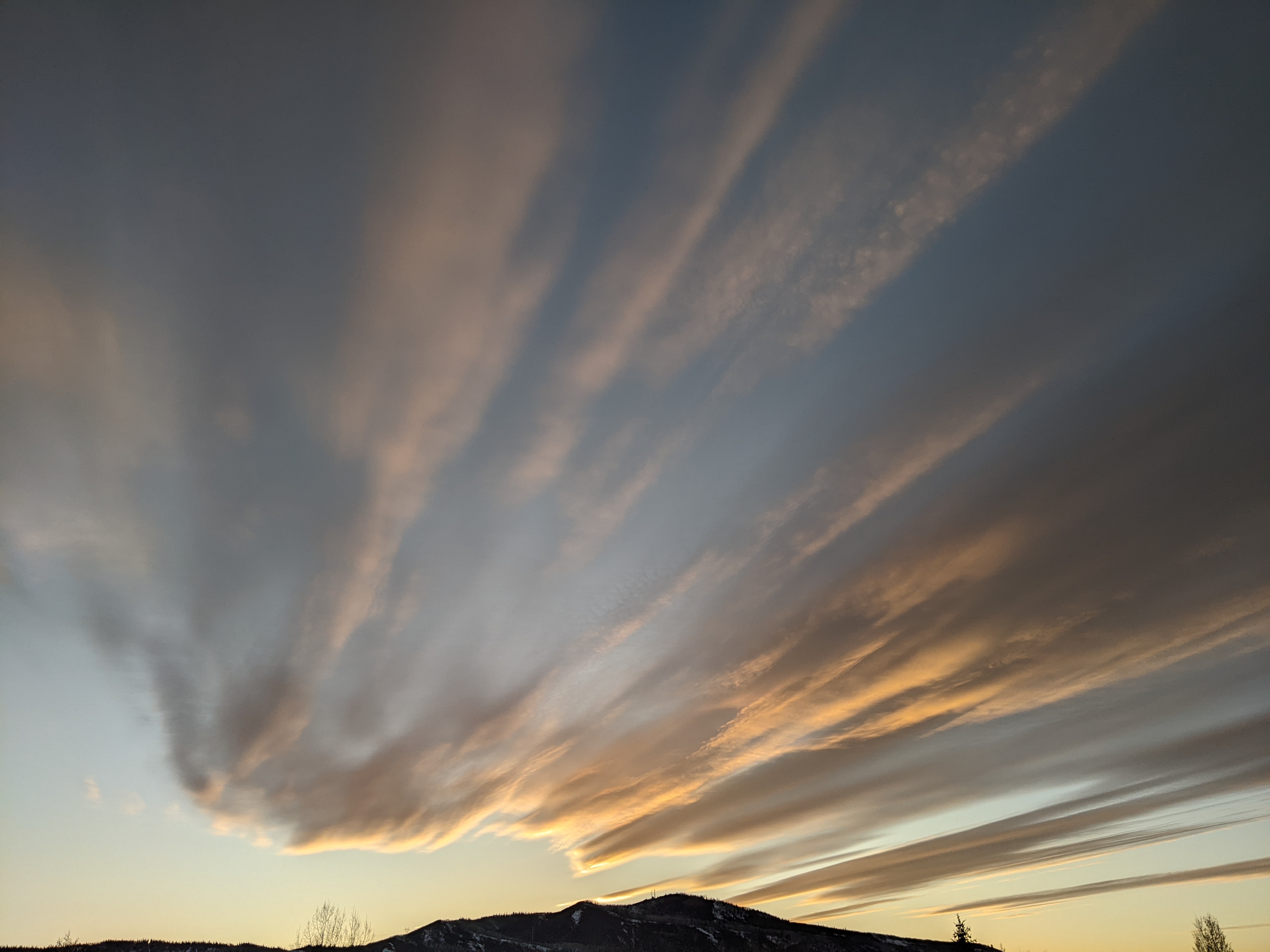
Drier weather ahead
Friday, July 22, 2016
Another Pacific Northwest storm made landfall near Washington state last night, and looks to drag a weak cool front across the Steamboat Springs region tonight as the storm moves through Montana.
Winds will become breezy and veer from the previous southerly direction to the westerly or northwesterly direction by Saturday, effectively ending the influx of monsoonal moisture from the south as the western ridge flattens. Remaining moisture will continue the threat of afternoon storms for the weekend, especially for Saturday, under much less humid conditions and warming temperatures.
A weak wave redevelops near northern California late in the weekend allowing a low-amplitude western ridge to rebuild which will increase temperatures to above normal again. As this wave moves inland around Tuesday, this shallow ridge also moves eastward, allowing some moisture from the south to move northward over Colorado on the western periphery of the ridge. This will result in a very weak monsoonal pattern, increasing the chance of afternoon storms for Tuesday and Wednesday.
This brief surge of moisture will be replaced for Thursday and Friday with dry air as several Pacific Northwest waves phase with a storm moving across the Canadian Plains and bring some cooling to the area in dry and breezy westerly to northwesterly flow. Currently, the last wave timed for Friday will be the strongest and may be strong enough to increase the threat of showers as the cool front moves through.
Add comment
Fill out the form below to add your own comments


