Monsoonal moisture follows warm and likely dry weekend
Thursday, July 14, 2016
A Pacific Northwest storm near the Canadian border will move inland overnight and drag a shallow cool front across our region after midnight, continuing the string of cool nights for the Steamboat Springs area. Additionally, cool air moving southward from western Canada will moderate a building western ridge this weekend, replacing the near-normal temperatures of this past week with warming temperatures.
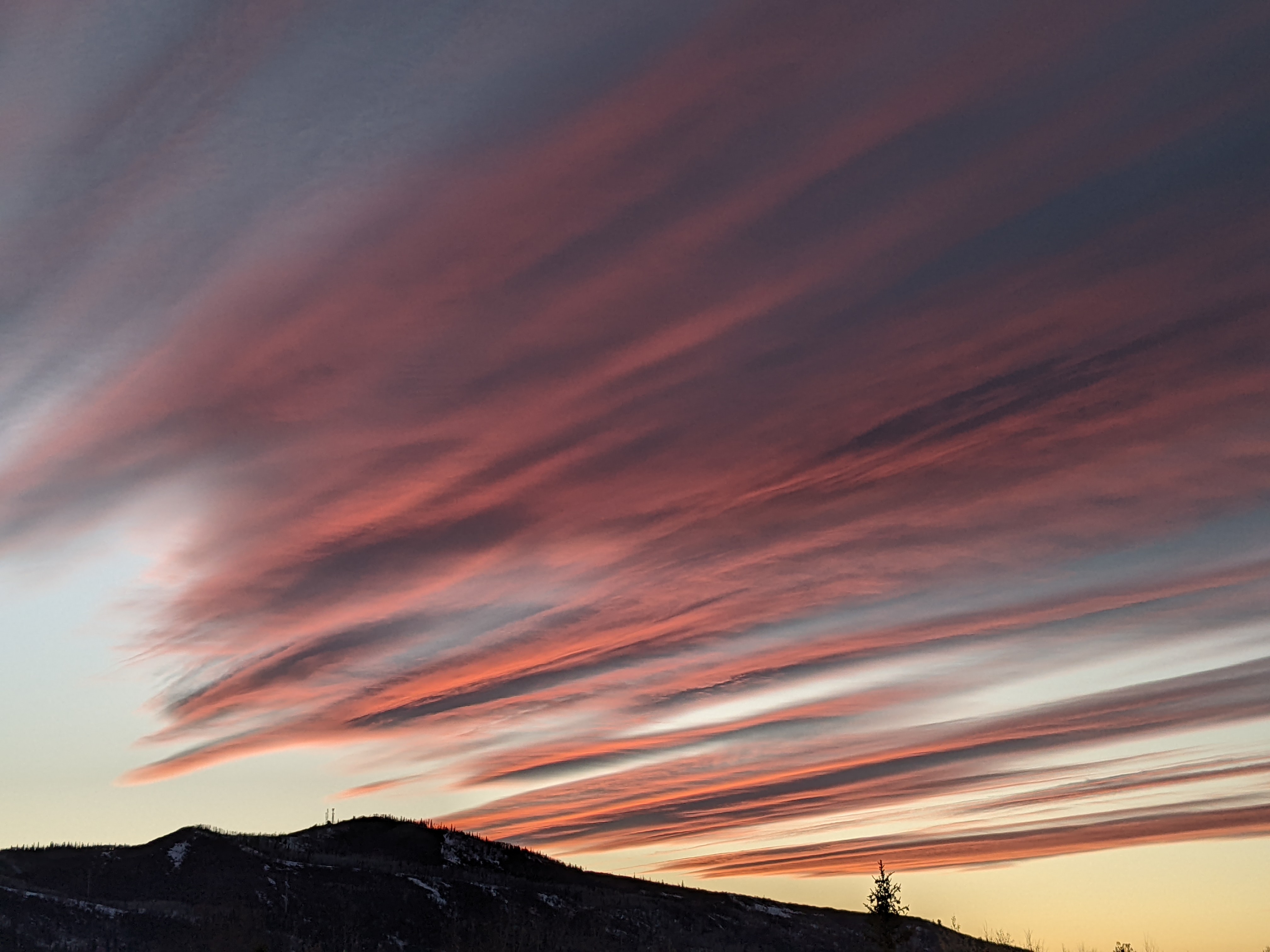
There may be some clouds Friday through Sunday as some mid and upper level moisture from Hurricane Darby in the eastern Pacific moves over the area in west to southwest flow, and this will also warm the overnight temperatures.
Cool air from Siberia currently crossing the North Pole will spin up another Pacific Northwest storm late in the weekend, and that will allow a stronger ridge to build over the western US by early next week as the storm digs further to the south along the West Coast than the previous Pacific Northwest storms.
The end result will be temperature soaring to well above normal early in the week before monsoonal moisture from Mexico brings clouds and showers and the attendant cooler temperatures to the region around midweek.
Longer range models indicate the monsoonal pattern may hang around after next week as a trough of low pressure lingers off the West Coast, keeping the moist south-southwesterly flow going over our area.
Add comment
Fill out the form below to add your own comments


