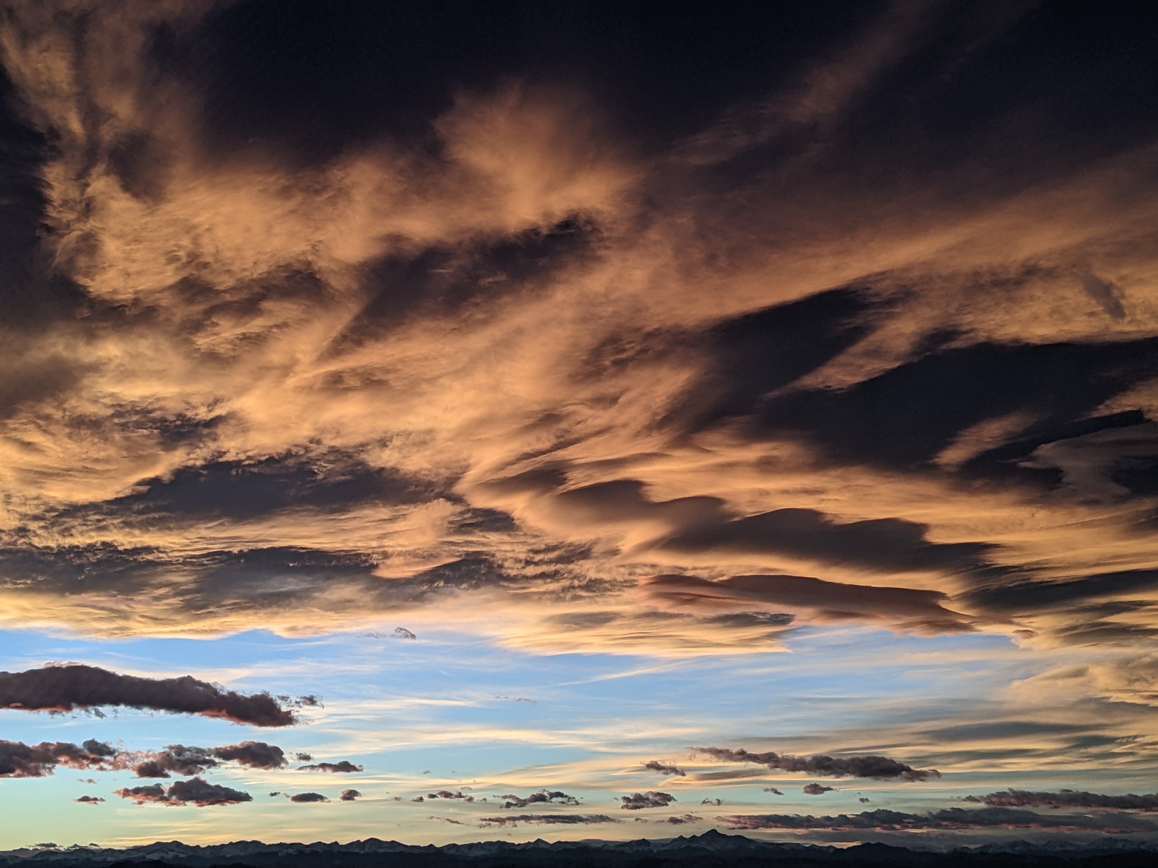
Steamboat Springs area weather forecast from Sunday
Sunday, June 5, 2016
A weak wave to our north will pass through the area Monday, again leading to the chance of afternoon thunderstorms, though they may produce more wind than rain as the lower levels of the atmosphere remain quite dry.
Tuesday will keep the threat of afternoon showers present, though less than Monday as a weak Pacific wave, currently in northern Nevada as of Sunday afternoon, moves some dry air over our area as it moves eastward across the Great Basin.
This weak wave weakens further as it interacts with the dominant western ridge, and due to its dry nature, it affects on our area will be minimal as it loiters in Colorado for a few days.
By Wednesday and through the rest of the work week, the ridge rebuilds and temperatures will continue to increase to their warmest readings of the year, though there will still be a chance of afternoon showers as southwest flow increases ahead of a much stronger storm forecast to cross the West Coast around Saturday. Current model have the storm weakening as it moves to our northwest through the western ridge, but it may be close enough to increase winds by the end of the week.


