Steamboat Springs area weather forecast from Monday
Monday, May 16, 2016
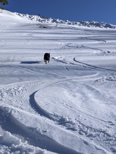
Quite the wintry day across the country for mid-May at the higher elevations as the Steamboat Powdercam showed almost 5” of snow had fallen at the top of Sunshine Peak by late this morning, along with 5” at Killington Resort in Vermont and 3” at Timberline Lodge in Oregon.
The storm responsible for our weather today was dropping south through the Great Basin this afternoon and will affect the Four Corners states through Thursday.
More cool air washes over our area tonight from the Great Lakes storm that affected our weather last week, reinforcing the cool temperatures and possibly bringing some stray snowflakes to the Steamboat valley overnight.
The Great Basin storm then weakens and turns eastward later Tuesday, bringing another round of moderate to heavy showers Tuesday afternoon and evening.
Continued cool and showery weather with possibly some sun in the mornings and likely moderate to strong afternoon storms are on tap for Wednesday and Thursday as the storm passes south of our area and eventually moves east of the Rockies.
Afternoon showers should decrease in intensity for Friday as the airmass dries before another large storm approaches the Pacific Northwest late in the work week. The ECMWF and GFS models have compromised with this new storm’s movement, now bringing a tongue of warm and dry air over our area with breezy southwest winds for most of the weekend before wet weather returns early in the next work week.
Add comment
Fill out the form below to add your own comments


