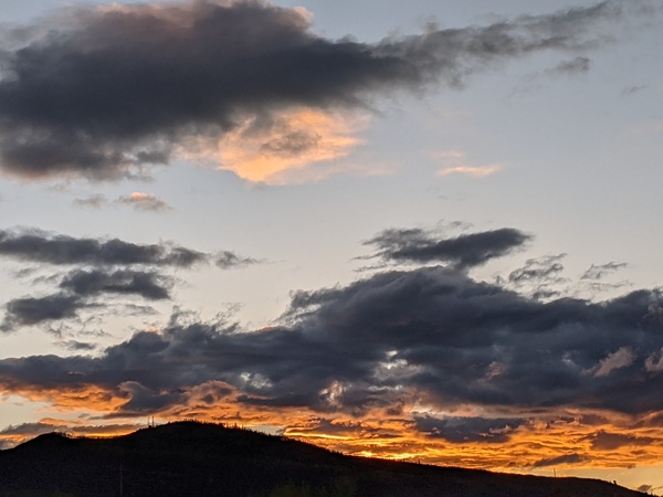
Steamboat Springs area short term weather forecast from Monday night
Monday, April 18, 2016
This slow-moving storm, covering the western half of the country from the Pacific coastal mountain ranges to the Mississippi river and the Mexican to Canadian borders, will continue to bring cool and unsettled weather to our area through Wednesday.
There may be patchy fog in the valleys tomorrow morning before it clears, and some periods of sun similar to today. A lobe of energy that brought severe weather to the central plains Sunday night will finally move south over our area by tomorrow afternoon or night, after a circuitous route around the storm.
While the exact timing is still uncertain, non-accumulating snow showers are likely in the valleys during Tuesday afternoon and overnight and snow showers turning to periods of light to moderate snow are likely on the hill. We may see some clearing by Wednesday afternoon if the faster model solution verifies, but in any case I would expect 3-6” of snow on the mountain by the time the storm finally clears the area by later Wednesday.
A nice warm up is in store for the rest of the work week as spring briefly returns to the area, with possible rain showers Friday afternoon, before another storm threatens our area with inclement weather around mid-weekend. There is large model disagreement by then with the GFS bringing the storm south of us while the ECMWF is further north.
Add comment
Fill out the form below to add your own comments


