Storms to bookend this week
Friday, March 4, 2016
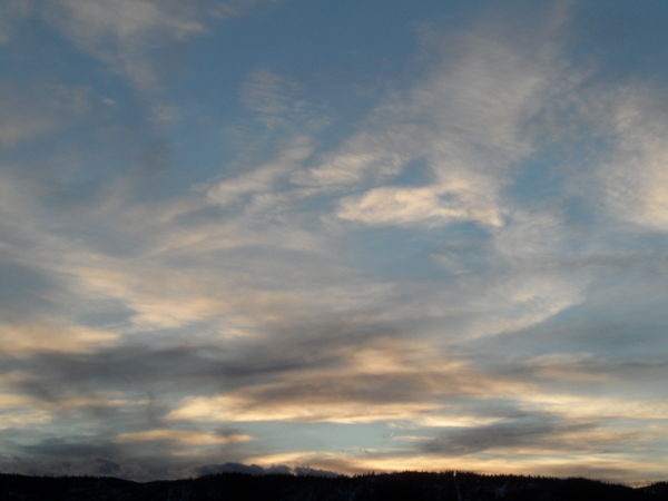
The unseasonably warm temperatures will continue through Saturday before a complex storm currently in the Gulf of Alaska affects the Steamboat Springs area Sunday. Ahead of the storm, two weak and precipitation-free waves will pass over the area increasing clouds Saturday afternoon and again Sunday morning.
The main storm in the Gulf ejects a lead storm that crosses the West Coast Sunday morning and brings storm clouds to our area by later Sunday morning. Precipitation may begin by noon Sunday, with the warm temperatures bringing rain showers in the valleys and the lower slopes of the mountain and snow showers at higher elevations.
Temperatures will cool by Sunday night lowering snow showers to the valley floors, but the most persistent snow is likely to be during the day Monday when mountain-top flow veers to the favorable northwest direction. Temperatures will still be on the warm side, so I would expect up to an inch or two of relatively dense snow to be reported Monday morning with an additional 3-6” of dense snow falling mostly during the day and possibly into the early evening Monday.
As this storm passes over the area Monday, the main storm moves southward along the California coast and crosses northern Baja by Monday night, forming a closed low cutoff from the jet stream that is typical of El Nino winters. Though the most persistent snow will be over by then, Tuesday is forecast to be unsettled as we are caught between the departing storm to our northeast and the large cutoff storm to our south.
Drier conditions will ensue for the rest of the work week before a more promising Pacific storm makes landfall around Friday and spreads clouds and possibly precipitation over our area late on Friday.
Add comment
Fill out the form below to add your own comments


