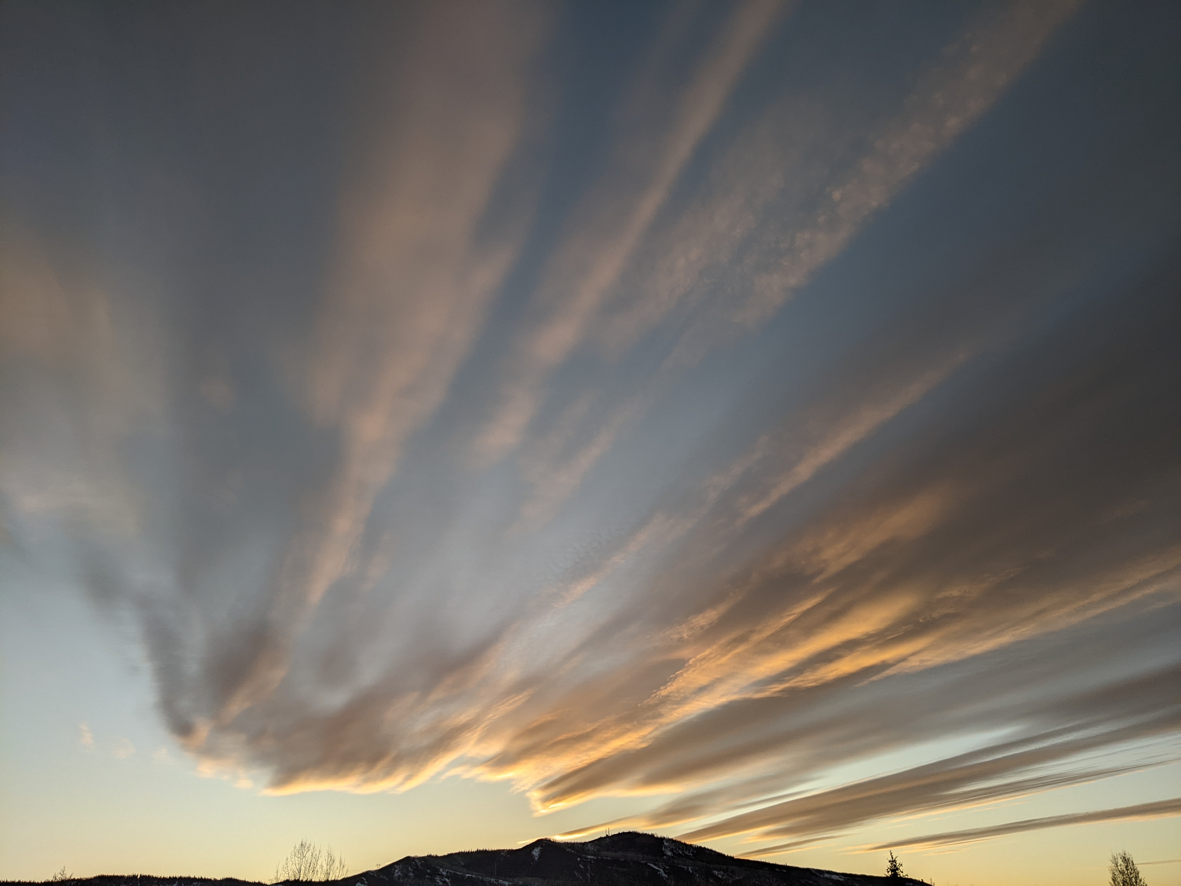
Last wave in this storm cycle timed for tonight
Thursday, February 4, 2016
A fast-moving wave in northwest flow will cross the Steamboat Springs tonight, leaving 3-6” for the Friday morning ski report. Snow will end first in the valleys but linger longest on the mountain where an additional inch of two may fall before being followed by partly sunny skies for the afternoon.
Saturday will be snow-free with brief ridging before another wave in northwest flow passes mostly north and east of us, increasing the likelihood of snow showers for Saturday night into Sunday morning and dragging some cool air over our area for Sunday.
Sunny skies and warming temperatures, especially at higher elevations, will begin by Tuesday and last the rest of the work week as the large West Coast ridge builds over the Great Basin. Valleys will have cold morning starts as temperature inversions reform under clear nighttime skies.
Steamboat Springs area short term weather forecast from Thursday night
A wave in northwest flow will pass over the area tonight, increasing snowfall overnight before partly sunny skies appear, first in the valleys and then the mountain.
Thursday night: Snow likely with accumulations around an inch in Craig, 1-3” in Steamboat and 3-6” on the mountain. Lows in the minus single digits in Craig and single digits for Steamboat.
Friday: Snow ending first in the valleys and then finally on the mountain where another inch or two may fall in the morning. Becoming partly sunny with highs in the teens.
Friday night: Cold as temperature inversions reform, with lows around -10 in Craig and near zero in Steamboat.
Another storm tonight before mostly dry weather for the next week
Another round of snows for the Steamboat Ski Area has begun with cloudy skies and light snow on the upper mountain as a wave in northwest flow moves over the area. Snows should increase through overnight before tapering off in the morning Friday, after leaving 3-6” for the morning report and possibly an additional inch or two during the morning after the report.
Brief ridging will be over the area Saturday before another wave in northwest flow crosses mostly north and east of us, bringing another surge of seasonably cold air and light snow showers with minimal accumulations for late Saturday night into Sunday morning.
Cloudy but cool and dry conditions are forecast for Monday before the West Coast ridge builds and moves eastward over the Rocky Mountain spine by Tuesday, bringing plenty of sun and warming mountain temperatures for the rest of the work week. However, temperature inversions will likely reform in the valleys continuing the cold overnight lows there.
Pacific energy from the west and cold Canadian air from the north are forecast to weaken the ridge sometime around next weekend or early the following week, and this may allow storms to once again affect our area.
Video of Third Pitch with the boys
Another great day at the Steamboat Ski Area with mid-80” base up top and the antenna snow stake at the very top of Mount Werner reading 92”. We had about two feet in the past 4 days and temperatures were below zero up top. Mitch, Dean and I skied East Face, then hiked up to Second Pitch, then out the backcountry gate to Third Pitch, where Dean made the sacrifice to stop and shoot the video. It’s about a 10-15 minute hike out with complex terrain, so know before you go!
Steamboat Springs area short term weather forecast from Wednesday night
Wednesday, February 3, 2016
Brief ridging will be over the area early Thursday before a fast-moving storm in northwest flow begins snow by Thursday afternoon. Accumulations will be largest on the hill before snowfall tapers off first in the valleys and then on the hill during Friday.
Wednesday night: Very cold with lows around minus teens for Craig and minus single digits for Steamboat. Chance of snow on the mountain with little accumulations.
Thursday: Chance of snow returning for the afternoon and continued cold, with highs in the teens in Craig and on the mountain and near 20 in Steamboat.
Thursday night: Chance of snow in the valleys and snow likely on the hill with 3-6” to be reported on the Friday morning ski report. Lows around zero in Craig and single digits in Steamboat.


