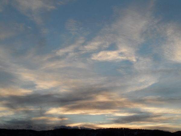
Steamboat Springs area short term weather forecast from Sunday night
Sunday, January 31, 2016
A large and potentially dangerous Pacific storm is currently crossing the West Coast and has begun to affect our weather with snow showers at the higher elevations. As this storm moves eastward across the Great Basin over the next two days, winds will first turn southwest tonight, forcing moist Pacific air over the cold air in our area and producing snow.
Winds will then turn easterly during Monday, which normally is not conducive to precipitation as downsloping off the Park Range warms and dries the air. However, strong storms can wrap moisture back into the northwest quadrant, sometimes producing heavy snows over our area as the storm moves along the Colorado - New Mexico border. There is uncertainty as to whether this will actually happen, but current models forecast it developing to at least some degree and lasting through Monday night.
Sunday night: Snow likely after midnight with 1-3” in Craig, 2-4” in Steamboat and 3-6” on the mountain. Lows around 10.
Monday: More snow with 2-4” likely in the valleys and 4-8” on the mountain. Highs around 20. Travel will likely be difficult in the I70 corridor and the Front Range as heavy snow is expected for those areas.
Monday night: Continued snow with 1-3” likely in the valleys and 3-6” on the mountain with lows around 10.
Tuesday: Mostly cloudy in the valleys with snow likely on the hill. Highs in the teens in the valleys and near 10 at mid-mountain.
Tuesday night: Chance of snow on the mountain, with lows around zero in Craig and minus single digits in Steamboat.


