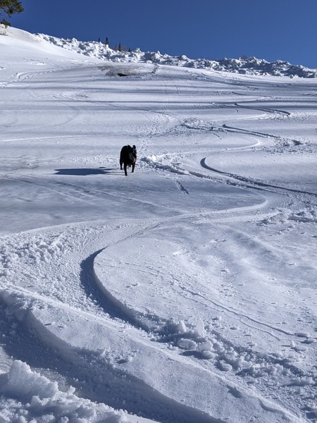
Mostly light snow increases again tonight through tomorrow night
Sunday, November 29, 2015
The wobbly and slow-moving storm in the Great Basin is beginning to move eastward today, increasing the chances of snow tonight through the day tomorrow and likely through Monday night as well. Though cold temperatures will be observed as the storm moves over the Steamboat Springs area Monday, winds don’t turn to the northwest until midday tomorrow, limiting overall snowfall as moisture decreases behind the departing storm.
I would expect the standard-for-this-Thanksgiving-weekend 1-4” to be reported tomorrow morning and another 3-6” to be reported Tuesday morning, with most of that falling during the day and early evening Monday. Temperatures will stay cold through Tuesday, before some warming will be observed at the higher elevations by midweek, while the valley stays cool as the standard temperature inversions form.
Temperatures will likely be warmest around the end of the work week as southwesterly winds increase and possibly mix out the valley inversions before another weak and splitting storm is forecast to affect our area by early in the weekend. At this time, only light snow is forecast for a short period of time around Saturday before the storm is past.
There is model disagreement early in the following work week, with the American GFS predicting a weaker, drier and faster moving storm than the European ECMWF.
Add comment
Fill out the form below to add your own comments


