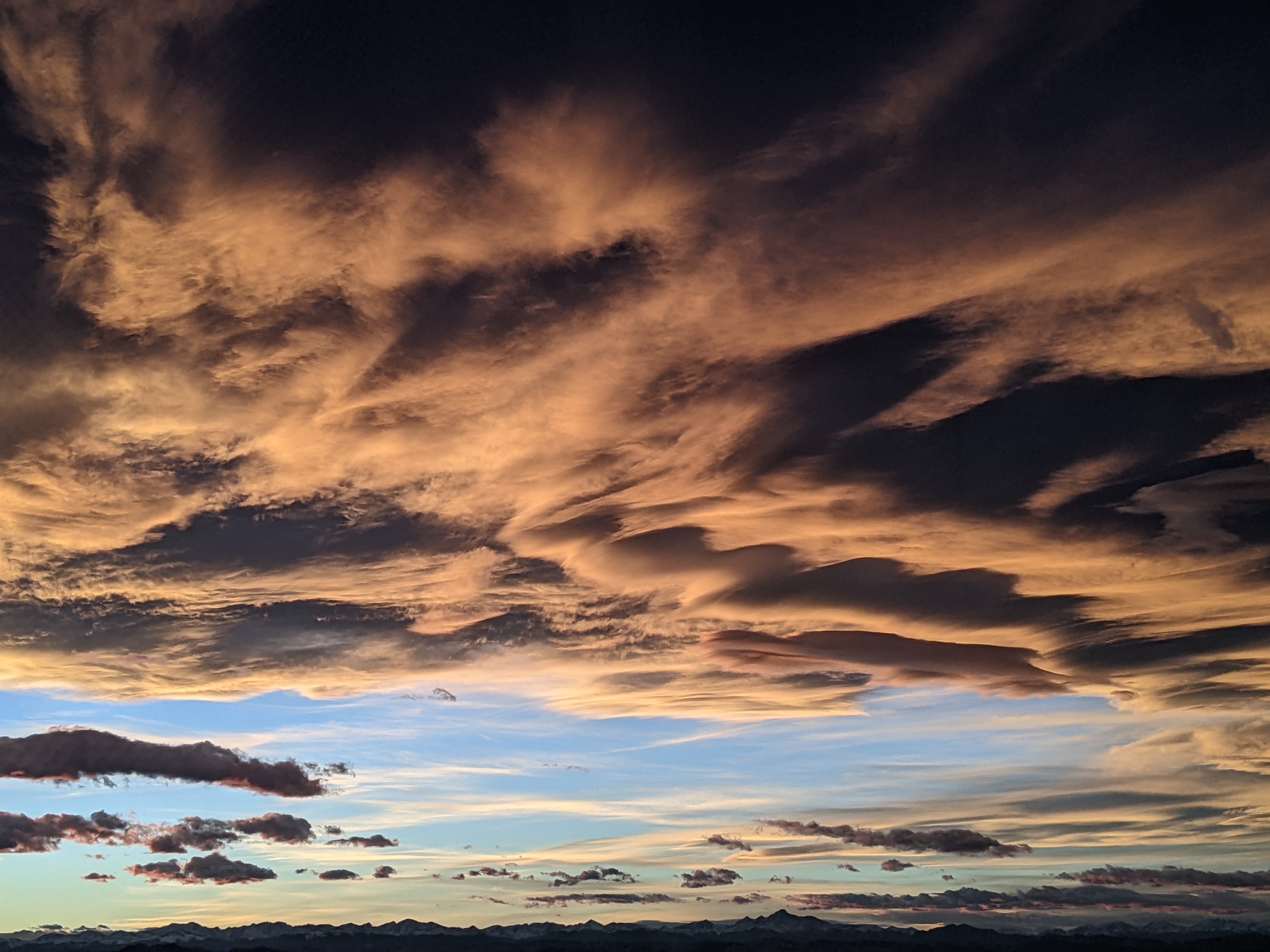
Autumn-like front now timed to arrive Tuesday
Friday, August 14, 2015
The western ridge responsible for our persistent monsoonal weather regime this summer is forecast to break down starting tomorrow as a series of Pacific shortwaves cross north of our area this weekend. Then, the first Autumn-like front is forecast to move through the area on Tuesday, bringing windy conditions and dry air with noticeably cooler temperatures.
But first, warm days with the chance of afternoon storms bringing the possibility of locally heavy rainfall will exist for today and more so tomorrow. A storm currently off the coast of northern California will move mostly north of our area late Saturday quickly followed by another wave of cooler air early Sunday that will keep temperatures slightly cooler under possibly cloudy skies.
Concurrently, an unseasonably strong storm in the Gulf of Alaska will cross the Pacific Northwest coast by Monday and turn our winds back to the west during the day. Dry air is forecast to be near our area on Monday, and a small shift in the flow may keep the day dry or continue the chance of afternoon storms.
The American GFS has drastically changed since yesterday’s forecast, and now agrees with the European ECMWF that the mostly dry southern part of the front should pass through the area on Tuesday. Northwest winds will initially be strong on Tuesday along and behind the front, but should moderate through the week as temperatures begin to recover on Wednesday and reach near normal by Thursday.
Additional dry waves passing north of our area will keep similar conditions through the weekend, though there is uncertainty with respect to the strength of another moderately strong wave currently timed for the end of next weekend. However, with models now agreeing on some sort of Gulf of Alaska ridge building around then and keeping the western trough intact, dry and cool conditions will likely persist.


