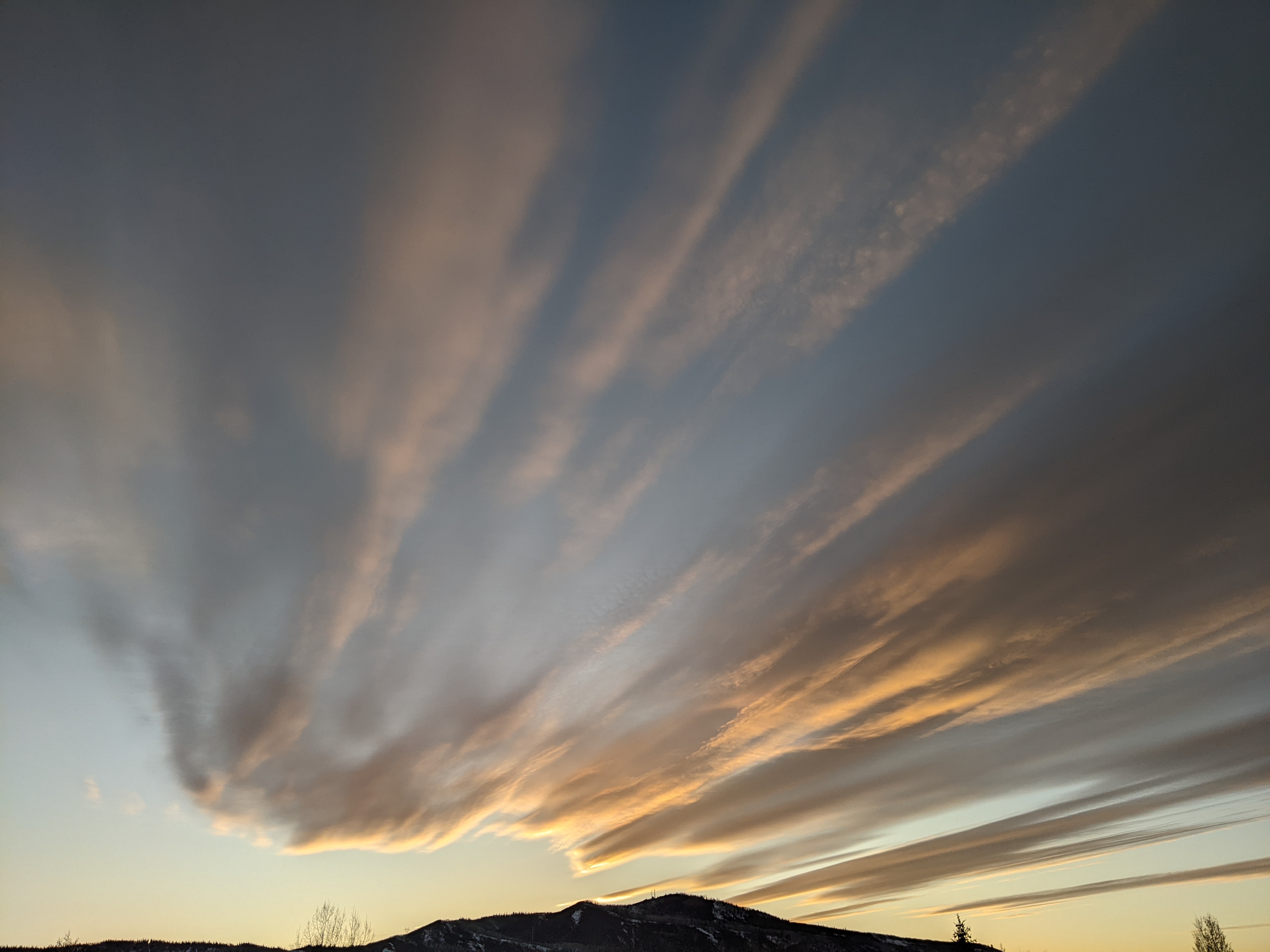
Beautiful start to the weekend
Thursday, July 30, 2015
Our warm days and cool nights will continue through the first half of the weekend. By later in the weekend, moisture to our south moves northward in a weak monsoonal surge and combines with a weak wave moving through the Great Basin and over our area late Sunday or Monday. As a result, storms will threaten our region by Sunday afternoon, with the threat persisting through Sunday night and into Monday.
The wave is east of us by Tuesday allowing drier air to spread into the the area. However, moisture left behind by the late-weekend surge will be recycled under the western ridge, leading to a slight chances of storms each day through the workweek.
By late in the workweek, though models have a strong Pacific storm approach the northwest coast, there is model disagreement on when this storm actually makes landfall. The American GFS is far more aggressive than the European ECMWF in bringing the storm eastward, advertising a strong monsoonal surge of moisture ahead of the storm that moves over our area as soon as Friday. The ECMWF, on the other hand, still has the storm off the coast by mid-weekend, leading to an uncertain forecast for next weekend.


