Impressive spring storm continues with snows through tonight
Saturday, April 18, 2015
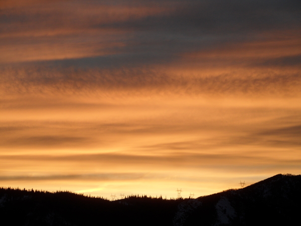
This very impressive spring storm continues with at least 2 more waves of snow for our area later this afternoon and overnight. The snows I thought may occur yesterday and Thursday night were overwhelmed by the strong winds downsloping from the east off the Park Range. In fact, you could see evidence of breaking atmospheric waves in the turbulent cloud structures overhead Thursday and Friday as the TROWAL was overhead. However, the upward motion from the TROWAL only briefly and intermittently appeared as the strong downward motion from the easterly winds dominated atmospheric motions.
But as the storm intensified and finally moved east of the Divide, another TROWAL moved over our area this morning. 2” of snow on my deck this morning and moderate to heavy snowfall rates on the hill in northerly flow resulted as this second feature gathered moisture from the Gulf of Mexico.
Models indicate another surge of moisture and upward motion later this afternoon that will produce another round of moderate to heavy snows. The kicker wave responsible for the eastward motion of this storm is currently in northern Montana, and will send more cool air through our area around midnight. This additional forcing will be far more moderate but will again produce snows for a time late tonight and decrease the snow densities, resulting in light fluffy snow on top of a dense base for Sunday. While the Steamboat Ski Area is notoriously guilty of closing just before we are impacted by these spring snowstorms, those willing to hike for turns will benefit.
The very active second half of April forecasted earlier this week looks to occur as the cold Canadian air to our north expands westward and southward and interacts with Pacific energy entering the West Coast. The persistent snow from this storm system will be replaced with showers tomorrow afternoon and Monday as moist and cool northwest flow remains over our area.
By Tuesday, another Pacific storm crosses the southern West Coast and will force the upper level winds to back to the southwest. But the current storm, even though by then forecast to over the Great Lakes region, will continue to affect us as waves of energy rotating around the storm continue to drag cool Canadian air over our area.
Showers midweek should turn to more persistent precipitation as the relatively warm Pacific air interacts with the cool Canadian air. The Pacific trough looks to cross our area around the end of the week when precipitation should be at its heaviest for this event.
But following closely on the heels of this southern system, another Pacific wave is forecast to cross the northern West Coast by the American GFS, again increasing precipitation for next weekend and lasting into the next workweek. The European ECMWF has a brief ridge crossing over our area before bringing a different wave across our area later in the weekend, so there is uncertainty for then. But in either case, drier weather will return only briefly as more Pacific energy crashes into the West Coast around May Day.
Add comment
Fill out the form below to add your own comments


