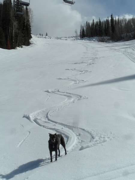
Surprise 5 inches this morning with more on the way
Monday, February 2, 2015
I had about 4” of now on my deck at 6:30 am this morning and an additional inch fell by 9 am. I have to admit I was a bit surprised this morning as I expected only several inches today as a wave moved over our area in moist northwest flow, but I discounted the model forecasts as they have not been verifying well for us this January. Furthermore, the European ECMWF model insisted on a much drier forecast, and again the American GFS provided a superior forecast for today. As a result, I will base my forecast on that model for the following week.
Two additional waves with similar trajectories to this morning’s wave will pass over our area Tuesday morning and Wednesday, with the Wednesday wave looking the most impressive of the three.
Snow should taper off today but begin again tonight, and I expect 2-5” on the hill by tomorrow morning. As today, snowfall rates should taper off during the day Tuesday before increasing again Tuesday night. This third wave looks to have more cold air and more dynamics associated with it, leading to a more prolonged event lasting through the day Wednesday and into the evening. I would expect 4-8” of snow for the Wednesday morning report, with an additional 3-6” during the day and overnight which will be reported Thursday morning.
A ridge moves over our area on Thursday, ending the snowfall but leading to a spectacular couple of sunny winter days for Thursday and Friday. Pacific energy is then forecast to flatten the ridge and lead to increasing cloudiness on Saturday and the possibility of some showers late in the day and overnight.
The ridge is forecast to rebound for later Sunday and Monday before another wave of Pacific energy threatens our area with showers around Tuesday or midweek. There is considerable model disagreement on the evolution of that storm.


