Chance of showers highest for July 4th holiday
Thursday, July 3, 2014
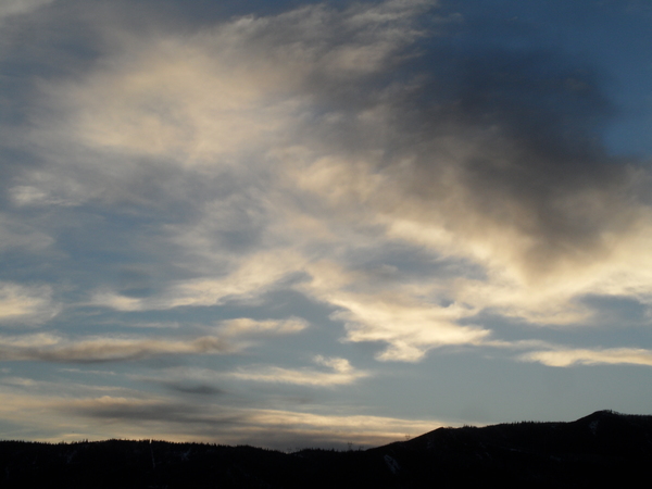
Moisture drawn from our south is currently increasing over our area, leading to a small chance of showers this afternoon. The best chance, however, will occur during the July 4th holiday as the areal extent and chance for wetting rains will be the highest, especially in the afternoon and evening.
Dry air will interrupt this very brief monsoonal surge of moisture for the rest of the holiday weekend, though remnant moisture trapped under the dry air may lead to a very slight chance of storms for Saturday and Sunday afternoons.
Warm and dry days should follow the weekend until midweek or soon after when another slug of monsoonal moisture is forecast to make a brief appearance over our area, increasing the chance of wetting rains. A shortwave moving well north of us will then suppress the ridge to our south and return dry weather to our area for at least part of the following weekend. However, the southwest ridge builds behind this shortwave late in the weekend or early the following week leading to a more sustained monsoonal surge and increased chances of precipitation for our area.
Uphill access restored to Zig Zag between Thunderhead and Creekside
Wednesday, July 2, 2014
The Steamboat ski area recently completed the lower section of the mountain biking downhill trail Tenderfoot, and as promised 2 long years ago, restored uphill access on the old Zig Zag trail between the base of the Thunderhead lift and the top of Creekside. This is great news for uphill riders like myself as we will no longer be subjected to the mind-numbingly boring ride up Why Not road to gain access to the excellent Creekside singletrack.
Personally, this has restored my standard lunchtime ride which I call the Creekside-8, which traces out a figure eight by following Zig Zag from the gondola to the top of Creekside, then down Creekside and back up Burgess Creek Road to Lower Valley View and finally the top of Christy Peak, then down Lower Rustler’s Ridge to the base of the gondola. It’s about 1800 vertical feet with two excellent descents separated by a 15 or 20 minute climb up Lower Valley View.
The trails are riding great after the rain we received last Friday, and the trail crews are keeping the singletrack and widetrack in excellent condition.
Cold front brings showers for Friday and then pleasant weather for the weekend
Thursday, June 26, 2014
An uncharacteristically strong storm for mid-summer is currently located in Nevada and will sweep a cold front through our area late tonight and early Friday. Temperatures will be knocked below average for tomorrow and showers will likely occur during most of the day, becoming stronger by the afternoon and early evening as any surface heating combines with cooling aloft to destabilize the atmosphere.
Showers may continue Friday night into early Saturday morning before drier air moves into the area and leads to very pleasant weekend weather with seasonably cool temperatures. Another storm will pass well to our north by Monday morning keeping these cool temperatures around for the beginning of the workweek. A ridge is then forecast to build over our area by midweek bringing hot temperatures by the July 4th holiday.
There is some model consensus with respect to monsoonal moisture from the south sneaking under the ridge by next weekend, which not coincidentally is climatologically expected around the beginning of July. If this occurs, the moisture will bring an end to the mostly dry week as showers will become stronger and more likely during the holiday weekend.
Uncertain forecast for Saturday and early next week
Thursday, June 12, 2014
There may be some storms later today, though with less coverage than yesterday, before a beautiful summer day is on tap for Friday. A wave currently over the Pacific northwest will affect our area for Saturday, though there is model disagreement with respect to the amount of cold air and moisture that is brought over our area. I would normally expect the weaker solutions this close to the summer solstice, but this may be similar to last Sunday when the wave came in far stronger and wetter than forecast.
As a result, while it is likely in either case that we will have some afternoon storms Saturday with cooler temperatures during the day, it is not clear as to whether early to midday Saturday will be cloudy with light precipitation developing relatively early in the day or partly sunny with storms holding off until the afternoon.
Cooler temperatures look to persist Sunday and into the following week as continued energy from the Pacific keep the summer ridge from building over our area. Model disagreement appears again early in the week with respect to the strength and speed of another storm moving in from the northwest.
In any case, seasonably cool temperatures will likely persist through at least midweek as it appears likely that some cool air will continue to filter into the region. After that, models indicate a building ridge that will bring much warmer temperatures into our region.
Pleasant summer weather on tap for the next week
Thursday, June 5, 2014
Our pleasant summer weather should continue for the following week. Even though weak waves pass north of us almost every day for the next week, they will bring only slight cooling as they contain very little moisture. Their greatest impact will be along the Front Range where these weak cool frontal passages bring increased chances of severe weather.
Clouds may increase in the afternoon in the wake of these waves, with their greatest coverage and the greatest chance of light rain occurring Saturday and Sunday afternoons as the dry air over our region is eroded by the passing disturbances.
Model forecasts bring a stronger wave to the west coast by the following weekend, though there is great uncertainty as to the strength and path of this storm.


