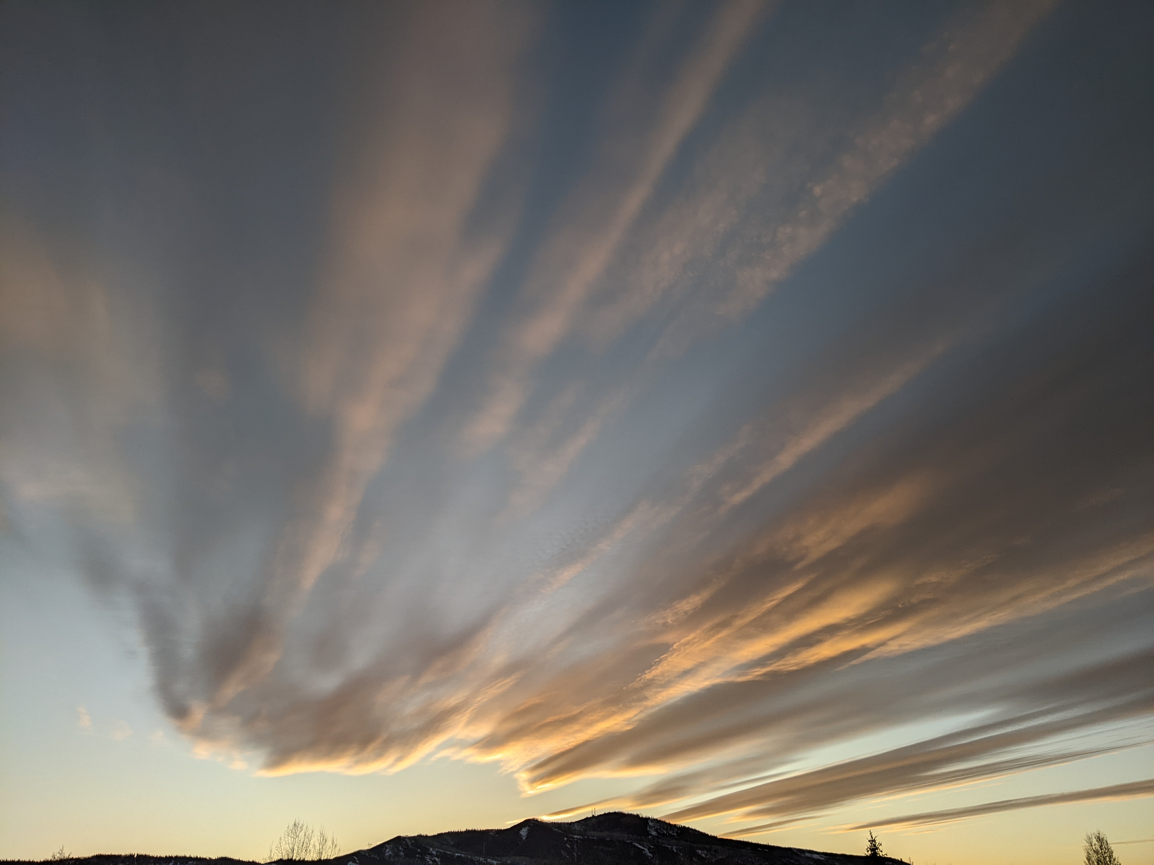
Showers bookend a nice fall weekend
Thursday, September 18, 2014
Currently, a beautiful and warm fall day is gracing our area with the remnants of former hurricane Odile staying to our south and a Pacific storm approaching the west coast. This storm will split, with the progressive northern branch bringing showers and some cooling to our area by tomorrow afternoon and lasting for some of the evening.
Saturday and some of Sunday will be precipitation-free before the cutoff part of the Friday storm left behind in central California moves westward. Interestingly, some of Odile’s moisture will be drawn into the system even though the former hurricane will be east of our area, leading to the possibility of moderate to heavy rains by later in the day Sunday and Sunday night. The start of precipitation is uncertain at this time as models disagree on how quickly the difficult-to-forecast cutoff low moves west, but it should be raining by sometime in the afternoon and the rains will continue through midnight.
Rain will turn to showers on Monday and will continue through the day as that cutoff low moves over our area. Some showers may be moderate to heavy later in the day as moist and cool northwest flow is predicted behind the storm. Models disagree on whether the storm lingers for Tuesday, but conditions should rapidly improve and skies clear as a strong ridge builds behind the departing storm.
Beautiful warm and dry fall weather will hang around for most of the workweek before a strong storm approaches the west coast by Friday. Current model forecasts have this storm threatening our weather for the following weekend.


