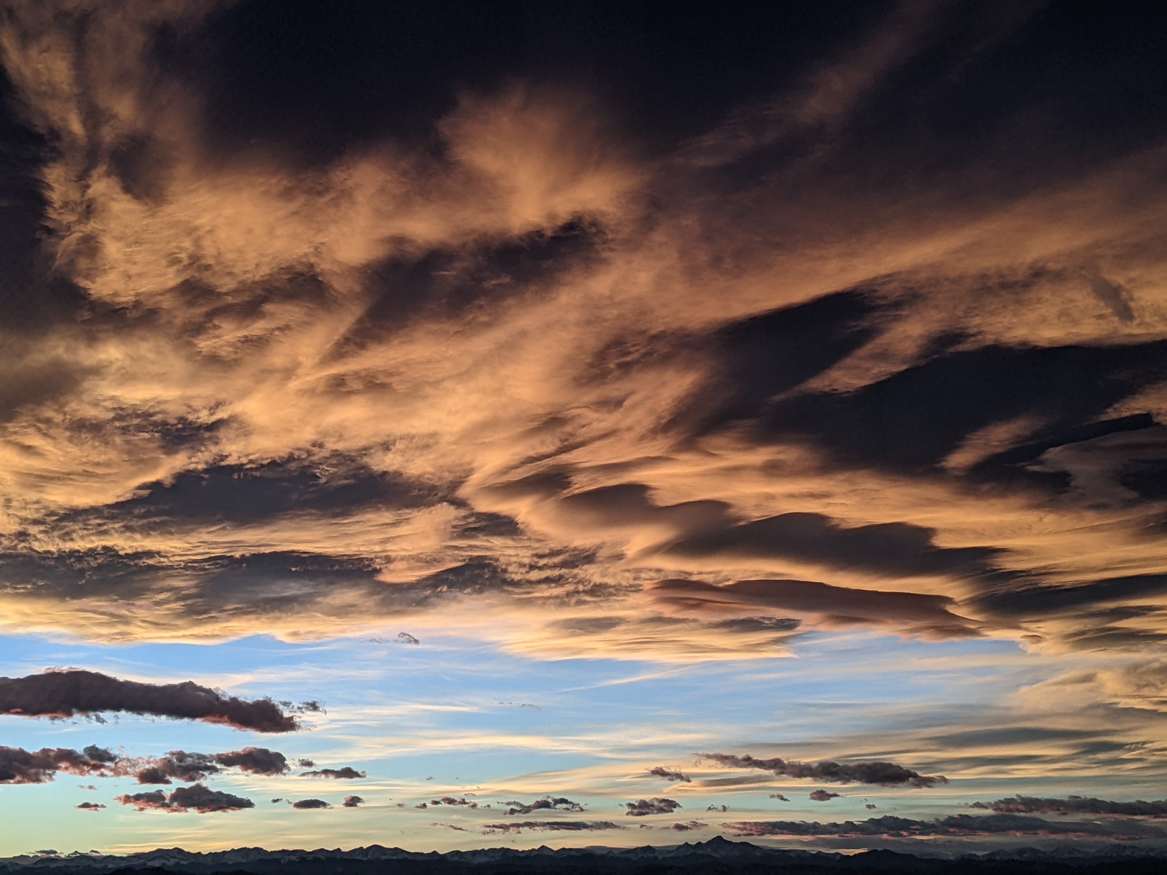
Cold front brings showers for Friday and then pleasant weather for the weekend
Thursday, June 26, 2014
An uncharacteristically strong storm for mid-summer is currently located in Nevada and will sweep a cold front through our area late tonight and early Friday. Temperatures will be knocked below average for tomorrow and showers will likely occur during most of the day, becoming stronger by the afternoon and early evening as any surface heating combines with cooling aloft to destabilize the atmosphere.
Showers may continue Friday night into early Saturday morning before drier air moves into the area and leads to very pleasant weekend weather with seasonably cool temperatures. Another storm will pass well to our north by Monday morning keeping these cool temperatures around for the beginning of the workweek. A ridge is then forecast to build over our area by midweek bringing hot temperatures by the July 4th holiday.
There is some model consensus with respect to monsoonal moisture from the south sneaking under the ridge by next weekend, which not coincidentally is climatologically expected around the beginning of July. If this occurs, the moisture will bring an end to the mostly dry week as showers will become stronger and more likely during the holiday weekend.
Uncertain forecast for Saturday and early next week
Thursday, June 12, 2014
There may be some storms later today, though with less coverage than yesterday, before a beautiful summer day is on tap for Friday. A wave currently over the Pacific northwest will affect our area for Saturday, though there is model disagreement with respect to the amount of cold air and moisture that is brought over our area. I would normally expect the weaker solutions this close to the summer solstice, but this may be similar to last Sunday when the wave came in far stronger and wetter than forecast.
As a result, while it is likely in either case that we will have some afternoon storms Saturday with cooler temperatures during the day, it is not clear as to whether early to midday Saturday will be cloudy with light precipitation developing relatively early in the day or partly sunny with storms holding off until the afternoon.
Cooler temperatures look to persist Sunday and into the following week as continued energy from the Pacific keep the summer ridge from building over our area. Model disagreement appears again early in the week with respect to the strength and speed of another storm moving in from the northwest.
In any case, seasonably cool temperatures will likely persist through at least midweek as it appears likely that some cool air will continue to filter into the region. After that, models indicate a building ridge that will bring much warmer temperatures into our region.
Pleasant summer weather on tap for the next week
Thursday, June 5, 2014
Our pleasant summer weather should continue for the following week. Even though weak waves pass north of us almost every day for the next week, they will bring only slight cooling as they contain very little moisture. Their greatest impact will be along the Front Range where these weak cool frontal passages bring increased chances of severe weather.
Clouds may increase in the afternoon in the wake of these waves, with their greatest coverage and the greatest chance of light rain occurring Saturday and Sunday afternoons as the dry air over our region is eroded by the passing disturbances.
Model forecasts bring a stronger wave to the west coast by the following weekend, though there is great uncertainty as to the strength and path of this storm.


