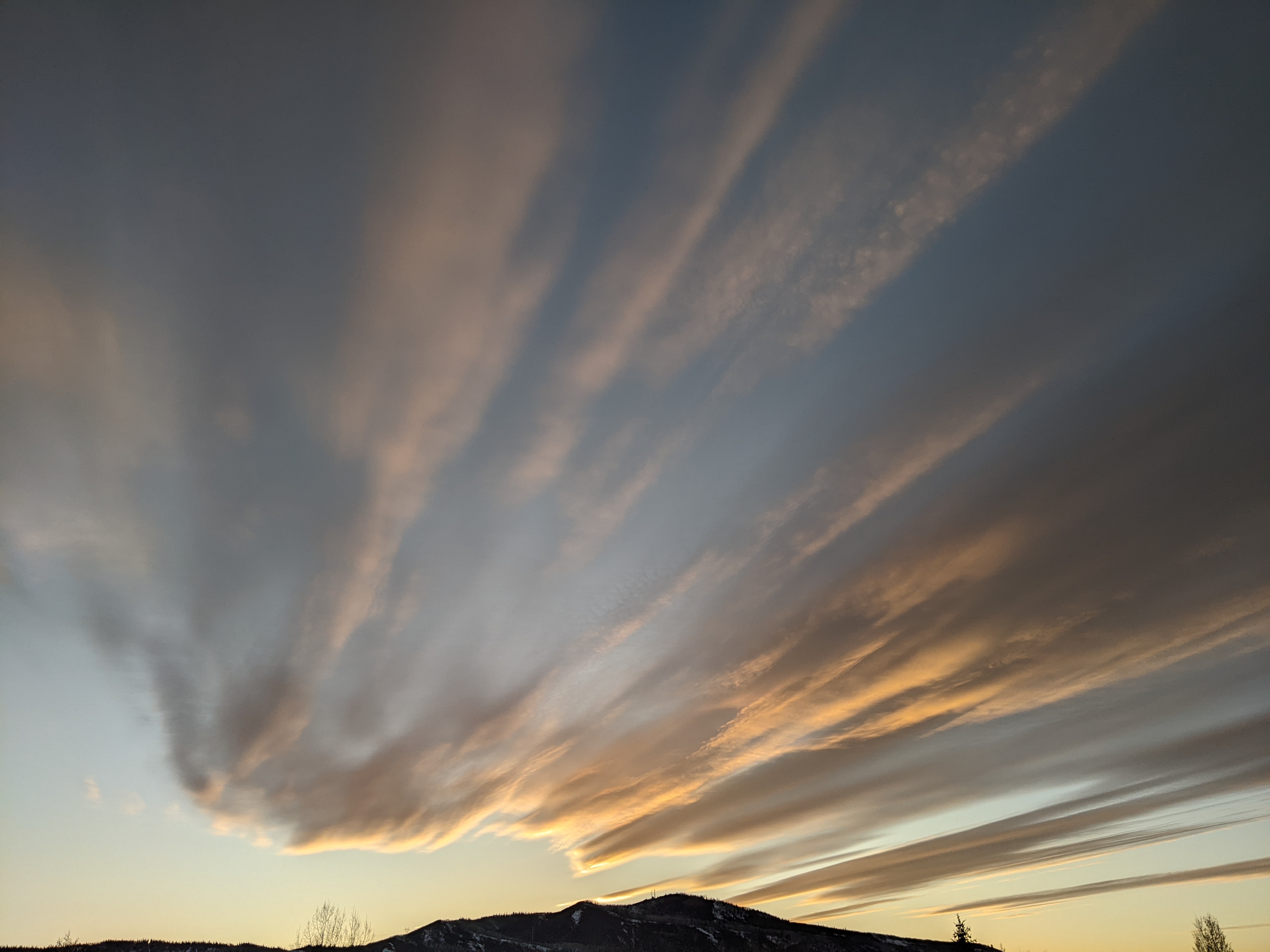
Moisture from tropical depression Amanda keeps warm and moist weather through Saturday
Thursday, May 29, 2014
The Category 4 hurricane southwest of the Baja peninsula that was Amanda became the strongest May eastern Pacific hurricane on record Sunday morning as peak winds approached that of a Category 5 hurricane. Much of the current moisture has been drawn northward from the remains of that hurricane, and will persist over our area through Saturday.
The moisture will keep the night unseasonably warm, and there will be enough daytime heating in spite of the cloud cover to force afternoon storms through Saturday. Additionally, weak and hard-to-time waves will enhance storms on Friday, leading to that day being the wettest of the period. The warm rain will accelerate the melting of the upper elevation snowpack leading to further rising of the rivers through the weekend.
Waves staying north of us, the first from the northwest late in the weekend and then a series from the southwest early in the week, will draw dry air into the region by Sunday, noticeably decreasing the chance of afternoon storms and lowering nighttime temperatures. The summery weather looks to last through most of next week before a weak wave may bring a threat of showers near the end of the workweek, though they would likely be limited to the typical afternoon variety.


