Warming and drying starts Thursday
Tuesday, April 29, 2014
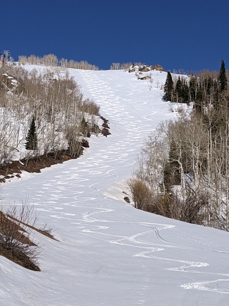
An additional 4” has fallen since yesterday afternoon at the top of the Steamboat ski area leading to a storm total of about 9”. The higher elevations of the central Rockies did best as Loveland reported 2 feet in the last 3 days!
Showers should continue today and last through tomorrow as additional waves of energy and cool air rotate around the west flank of the Hudson Bay vortex. In the last blog post, model forecasts had this continuing through the workweek but it now appears the ridge will build eastward enough to keep most of this energy just to our north and east. The end result is drying and and warming temperatures for Thursday and Friday, though Friday may be a bit cooler as models keep the cool air lurking just to our north.
Another Pacific storm forecast to make landfall in the northwest early in the weekend forces this ridge to amplify over our area. Dry air and likely unseasonably warm temperatures will make for a beautiful weekend that will likely persist for Monday as well.
However, the interaction between this Pacific storm and the Hudson Bay vortex still looks to occur beginning over the weekend and will strengthen the storm, bringing showers into our area sometime on Tuesday in increasing southwest flow. The American GFS model advertises another active period of weather starting midweek as the storm moves over our area and lasting through the following weekend, though the European ECMWF has a less amplified and quieter solution.


