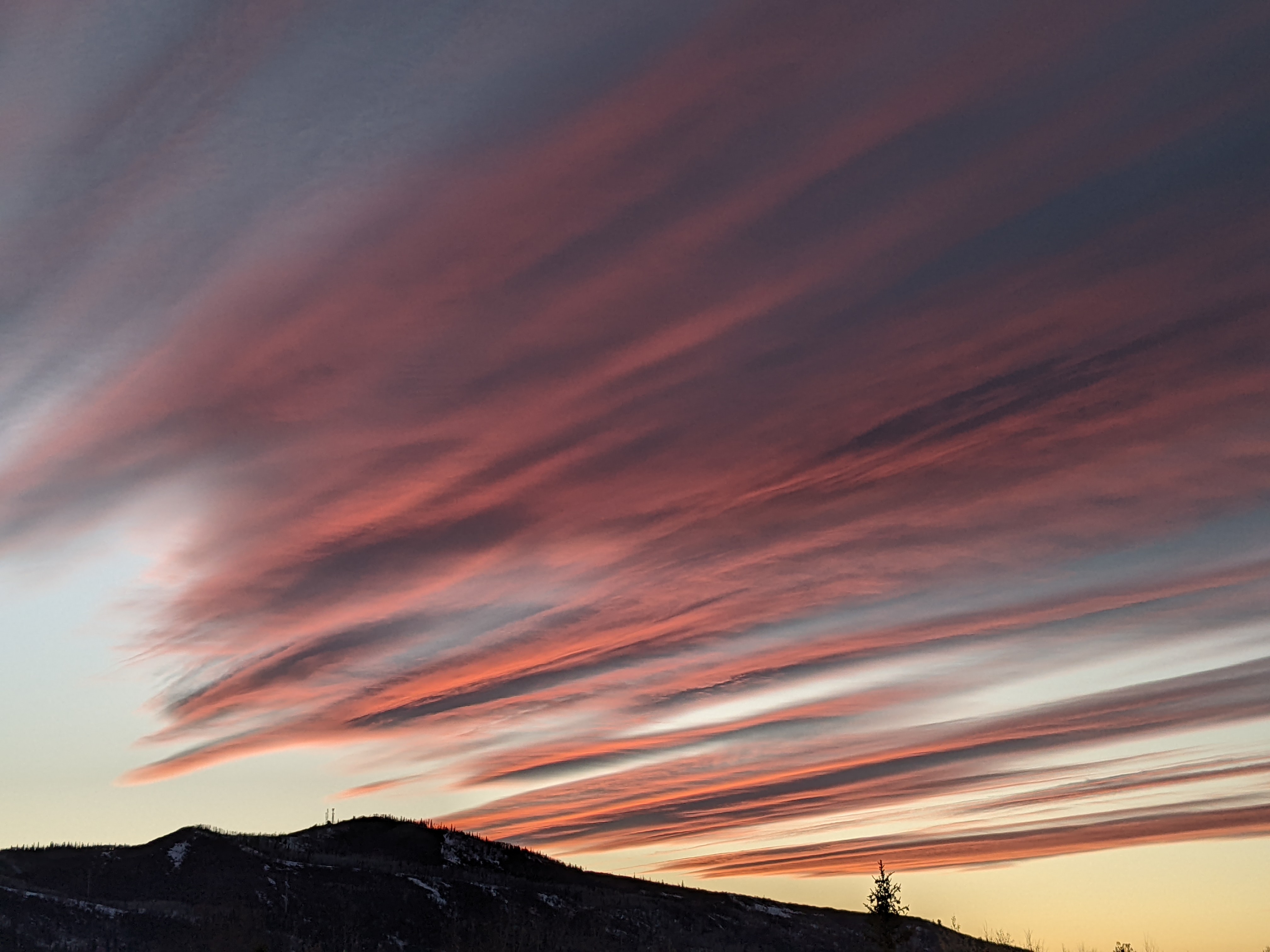
Closing day powder day still on track
Saturday, April 12, 2014
The interesting storm advertised earlier this week looks to be a significant snow maker for much of Colorado Sunday. A cold front currently draped across central Montana has entrained some cold air from the Hudson Bay vortex and is forecast to move across our area early tomorrow morning, probably around report time. There may be showers ahead of the front after midnight, but the bulk of our snow will come with and behind the front. There might be an inch or two on the morning report, but moderate to localized heavy snows should be occurring in rapidly falling temperatures by sometime in the early morning and continuing until sunset before tapering off and ending around midnight.
I would expect to be skiing in 4-8” of powder by the time the lifts stop spinning for our season tomorrow afternoon, though only some of that will be reflected on the official noon report. Probably another 2-4” on top of that after lifts close would make for great skiing on Monday were it not our first closed day.
A chilly start for Monday that will make the day feel cool, though temperatures are forecast to rise in the beautiful sunny weather that lasts until Tuesday. Models are once again in disagreement as to the strength of a storm forecast for Wednesday. The American GFS model insists on another significant snowstorm lasting through Thursday while the European ECMWF has a much flatter and faster moving storm. Interestingly, the GFS entrains another lobe of cold air from the Hudson Bay vortex while the ECMWF is less generous with that interaction. I would guess the Wednesday storm will behave similarly to tomorrow’s storm and would lean towards the GFS forecast.
Nonetheless, skies should be clear by Friday for a return of spring weather. Current forecasts have storms moving well north and south of us for the weekend, leaving us in very pleasant weather.


