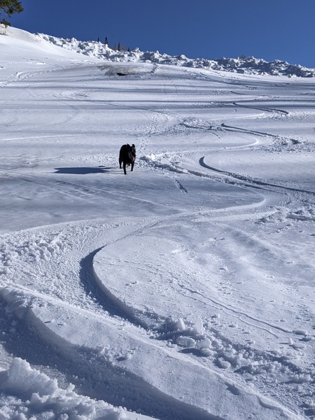
Storms return for closing day and then midweek
Thursday, April 10, 2014
After beautiful almost summer-like weather, our very active spring reasserts itself with storms timed for closing day on Sunday and midweek. Similar to yesterday, there may be some showers this afternoon that will enhance gusty winds, though no accumulations are expected.
Friday will be warmer and drier, and Saturday will start similarly, though changes are afoot by the afternoon in advance of a complicated and interesting storm system. A low off the southern California coast affects our area by Saturday afternoon with a another round of afternoon convection. Concurrently, a lobe of energy from the still present Hudson Bay vortex will phase with some cold air from the Siberian vortex over western Canada and bring a strong cold front into our area late Saturday night or early Sunday morning.
There is disagreement among the models as to the western extent of this storm, but the possibility exists for significant snowfall during the day and perhaps the evening as well before the storm moves east of our area by Monday morning. Snowfall forecasts will have to wait until model uncertaintly is resolved.
A transient ridge will bring spring-like weather back to our area by later Monday and Tuesday before another storm affects our area starting Wednesday. The American GFS model has the storm closing off and stalling over Colorado as another lobe of energy from the Hudson Bay vortex brings cool air into this system. Conversely, the European ECMWF model does not show this interaction and keeps the storm fast-moving and weak.
Both models show additional energy for the end of next workweek that will keep the weather active. Bases will likely continue to build through at least next week, and it’s a shame that the Steamboat ski area does not consider extending their season like many of the surrounding resorts. Lifts could be limited to the gondola, Storm Peak Express and Elkhead, with Burgess Creek being a convenient addition, but not necessary. Credibility as a skier’s mountain could only help Steamboat’s marketing efforts, not to mention the increase in seasonal snowfall averages.


