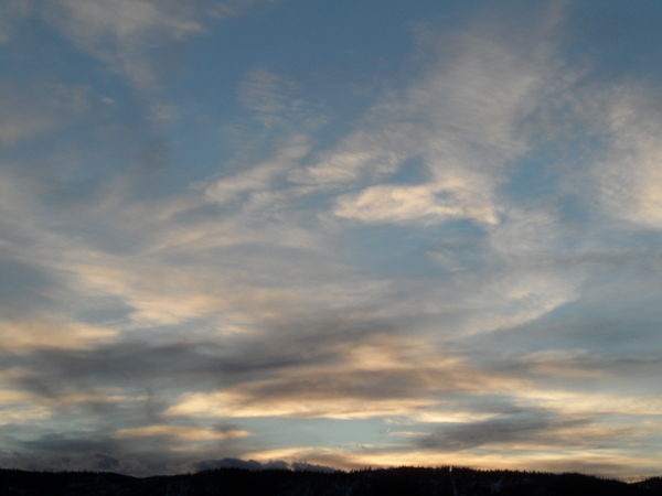
Quick view of our soon-to-be stormy weather through the weekend
Monday, February 17, 2014
I’ve run out of time today for a detailed forecast, but wanted to mention that the return of winter still looks to be on track for Wednesday afternoon.
The American model solutions have trended stronger and colder with the lead wave ejecting from the Gulf of Alaska low, similar to the European model. After a nice Tuesday with some high clouds in the afternoon, snow showers will begin around midday Wednesday. Moderate to heavy snow will become likely by sunset, around when the surface cold front is expected to pass through the area. I expect 6-12” on the hill by Thursday morning, with snow showers tapering off toward noon.
There will be breaks, but a number of waves embedded in the cool northwest flow promise unsettled conditions through the weekend, especially during the day Friday and overnight Saturday. This storm cycle will be unlike the previous 2 warm events, and more similar to the cold storms previous to those.


