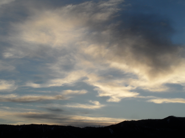
Storm cycle ends with seasonal weather returning by Thursday
Tuesday, November 5, 2013
Another 5.5” of fluffy snow was on my deck by this morning as the impressive winter-like storm departs.
Wednesday will be cold with our area susceptible to showers in the cold, but rapidly drying northwest flow as a trailing wave moves over the area.
A building ridge will produce moderating temperatures and dry weather through the weekend and likely most of next week. Weak waves do pass north of our area on Friday and again next Tuesday, but high clouds will likely be their only affect on our weather.
Models do forecast a large storm off the west coast after mid-month that is forecast to eventually influence this ridge, but the forecast pattern is around 10 days away and confidence in a solution that far in the future is low.


